
Go To Trains Part 3 Go To Trains 3A Go To Trolleys 1
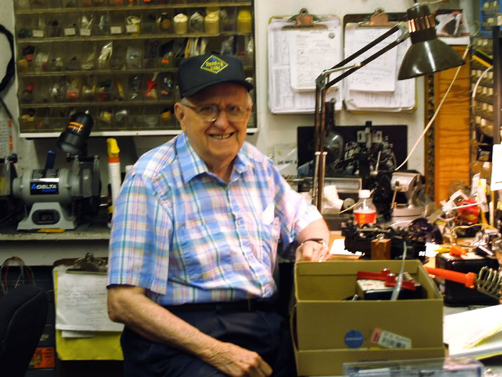
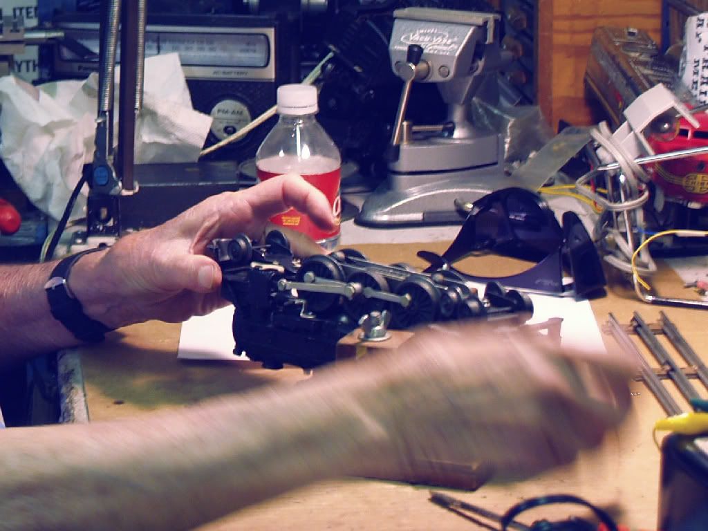
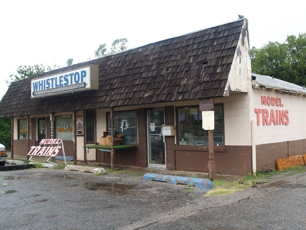
I'll begin this by thanking Ed Birch and his son, Eddie, for several of the images in this post (even more will be in the next post on Okc Trolleys), but, more, for octogenarian Ed for sharing some of his lifelong experiences and knowledge of trains, in and out of Oklahoma City. I'll have more to say about this when the post is next edited, but, for now, THANKS to Ed, Eddie, and Whistle Stop Trains at 1313 W. Britton Road. If you want CDs containing more train pics than you can possibly want, H.O. guage train stuff, vintage train pics, etc., Whistle Stop is where you need to go.
Unless otherwise stated, click the images for larger views. As well, in a few days, I'll link to a few high resolution rail maps.

IN THE BEGINNING ...
Before statehood in what would become Oklahoma City, there was only the AT&SF, the "Santa Fe," which graced our then little bump on the road. Initially, it was called, "Oklahoma Station." The following images are from the very fine Historical Atlas of Oklahoma by Charles Robert Goins and Danney Goble (University of Oklahoma Press 2006).
For a high resolution image, click here.
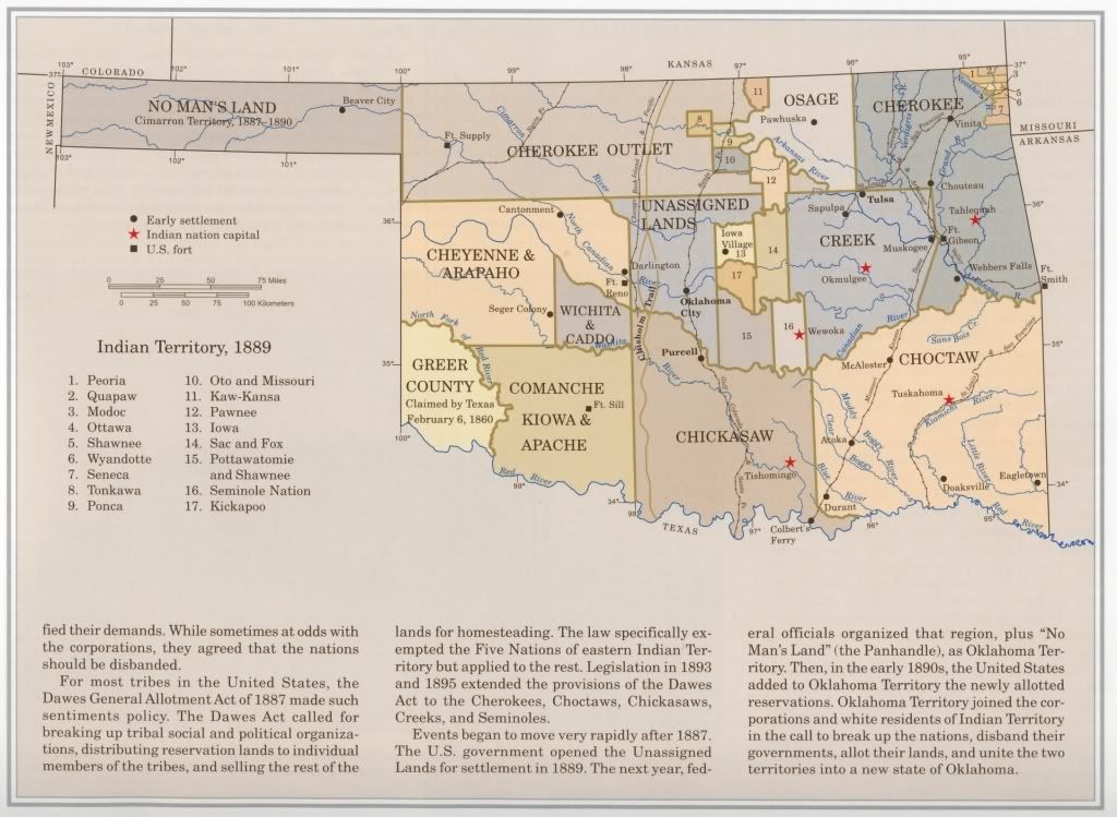
Zooming In On The Unassigned Lands Area
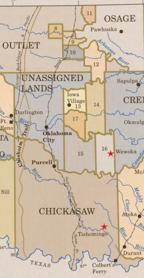
By Statehood, Lots of Change
For a high resolution image, click here.
Larger image not available

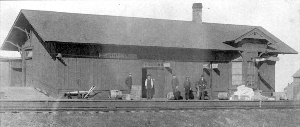
THE EARLY TRAINS. Mainly, I'm taking about the "major players," the AT&SF (Atchison, Topeka & Santa Fe aka "Santa Fe"), the CRI&P (Chicago, Rock Island & Pacific aka "Rock Island"), the SL&SF (St. Louis & San Fransisco aka the "Frisco"), and the MKT (Missouri, Kansas & Texas aka the "Katy") rail companies (or their respective predecessors and/or successors in interest).
Santa Fe. I've not located a pre-Land Run Santa Fe map yet, but the 1891 map below should come pretty close to identifying its routes before and just after the April 1889 Land Run.
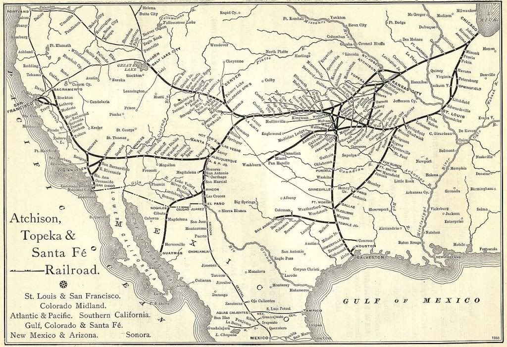
Zooming in on the Okc (then "Oklahoma") Area
(Larger image not available)

The 1st Santa Fe Station, 1889
Credit Oklahoma City: Land Run to Statehood by Terry L. Griffith (Arcadia Publishing 1999)
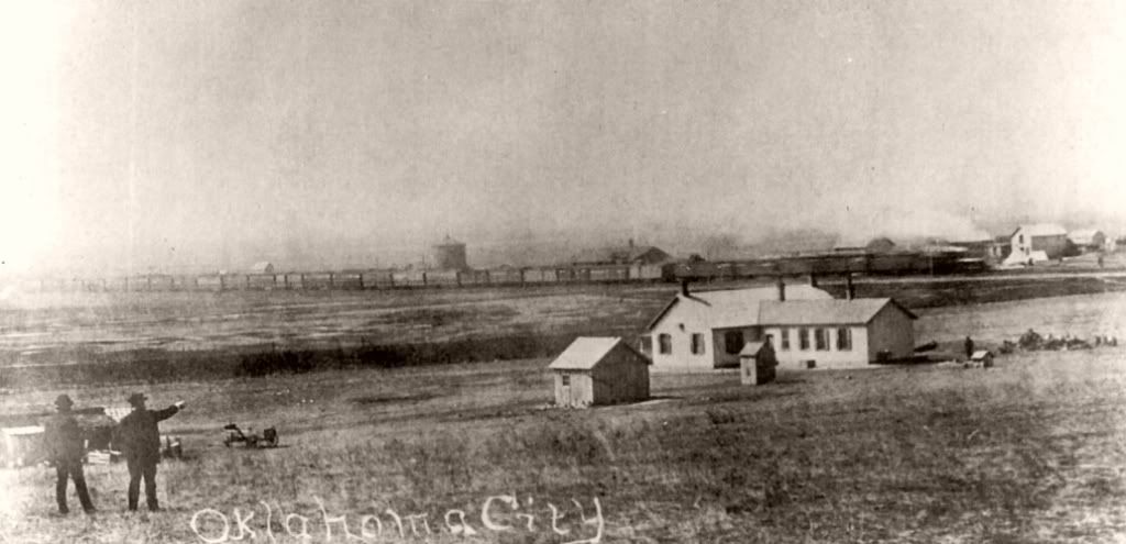
The Day Before the Land Run - Santa Fe in the Background
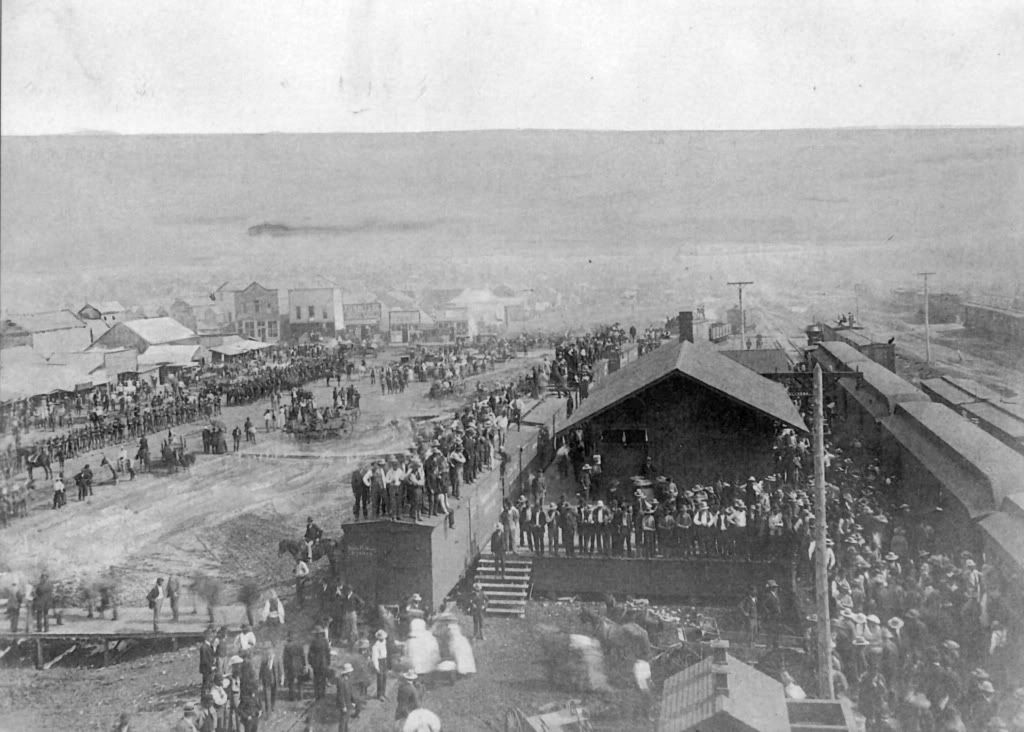
Next 2 pics, credit Terry L. Griffith, Oklahoma City: Land Run To Statehood (Arcadia Publishing 1999)
July 4, 1889, Parade, Viewed from Santa Fe Depot
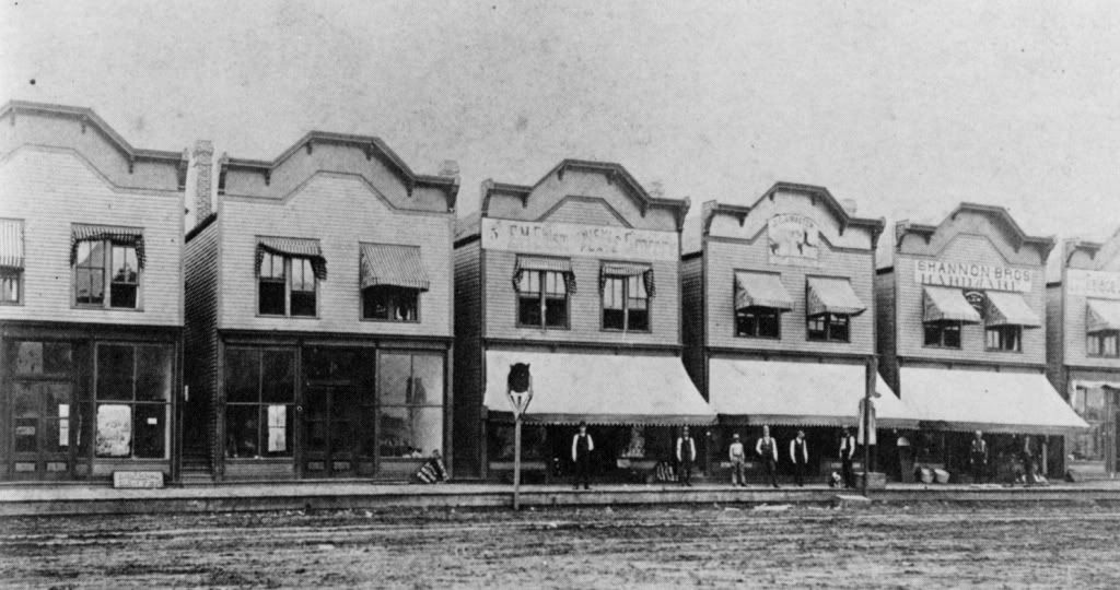
Henry Overholser Shipped These Prefabricated Buildings
To Okc Via the Santa Fe & Assembled Them Here
Credit: Oklahoma County: Heart of the Promised Land by Bob L. Blackburn
(Windsor Publications 1982)
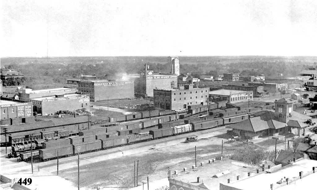
The 1900 Santa Fe Station, Viewed in the 1910s

1915 View Santa Fe Station Viewed From Top of Herskowitz Building
Credit: Vanished Splendor III by Jim Edwards, Mitchell Oliphant & Hal Ottaway
(Abalache Book Shop Publishing Co. 1985)
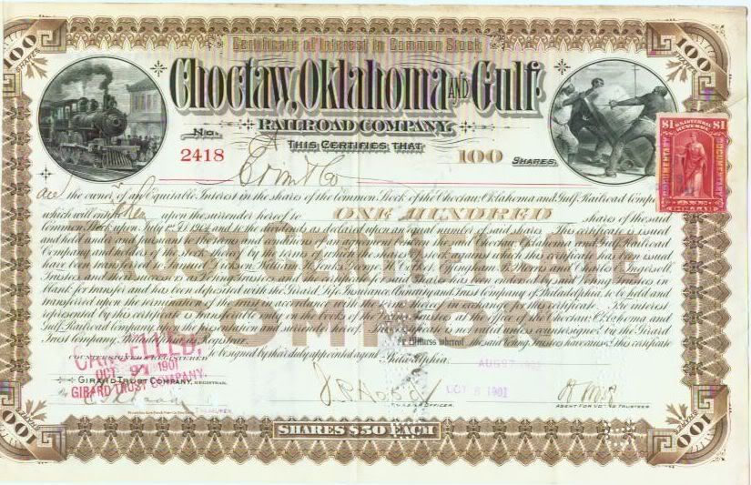
The Rock Island. Actually, this section needs to begin with the Choctaw and Coal Railway Company, and, then, its successor owner, the Choctaw, Oklahoma and Gulf Railroad Company, the latter acquiring ownership in 1894. Born Grown, p. 146, says that the first "east-west train of the Choctaw Coal and Railway Company chugged into Oklahoma City on May 10, 1891 in the heart of town, after altering its course slightly because of squatters in the first right of way." In 1895 the successor Choctaw, Oklahoma and Gulf expanded ambitiously, east of Oklahoma City to McAlester in 1895, west of El Reno to Weatherford in 1898, among other expansions.
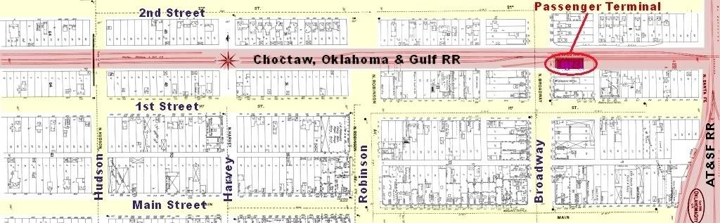
From the John H. Nelson Collection
Section of an 1898 Sanborn Map Showing Downtown N/S Split
Note: To access Sanborn Map Company historic Oklahoma maps if you
have an Oklahoma City Metropolitan Library Card, go to the Okc Metro
Library login page, login, click the "Databases" menu item and in the page which opens click the "Oklahoma" tab. The Sanborn Maps can be opened there.
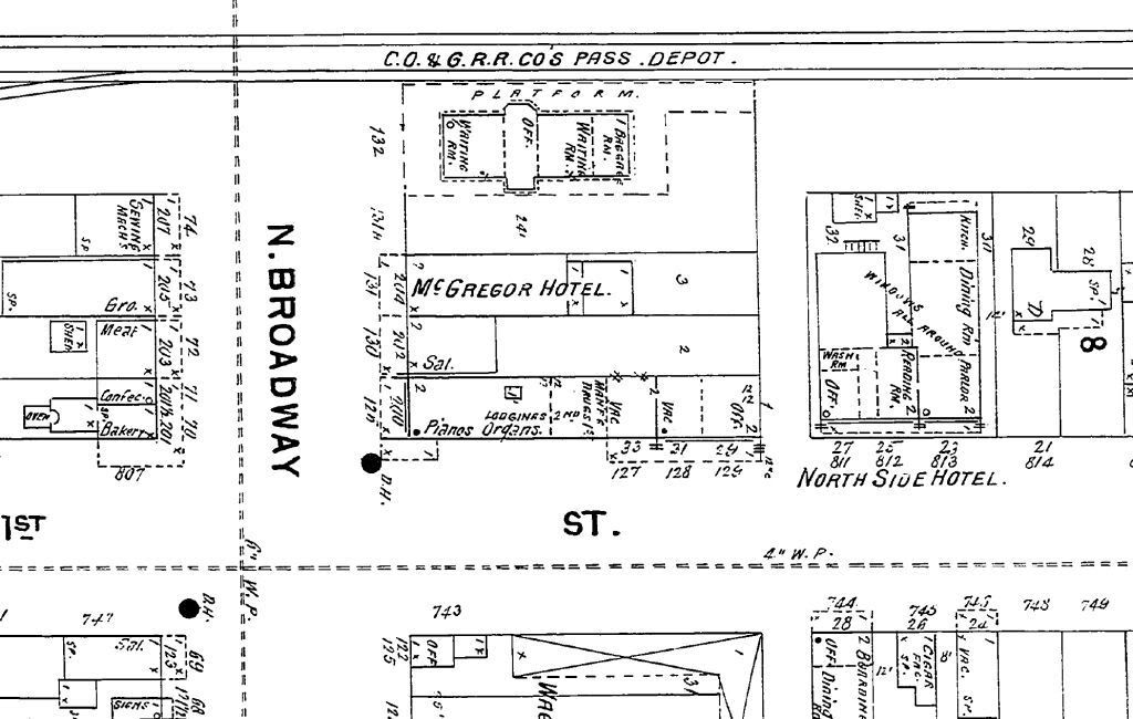
Closeup of the Terminal - Note the 2 Hotels Where Skirvin Came To Be
The Chicago, Rock Island and Pacific ("Rock Island") acquired controlling stock ownership in 1904. I don't yet have an earlier Rock Island route map but here's what it looked like in 1922:
For a high resolution image, click here.
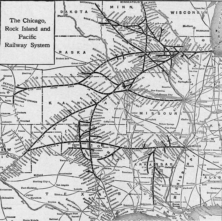
For the Wikipedia Rock Island history, click here.
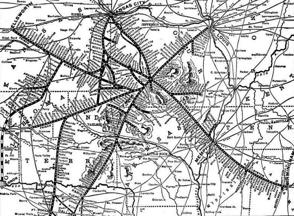
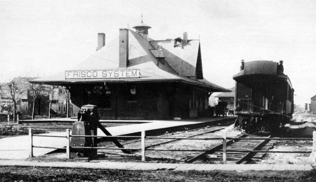
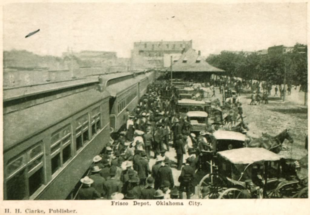
The Frisco. The SL&SF ("Frisco") existed in Oklahoma but not around these parts before 1895. (It never did go to its namesake city, San Francisco, by the way.) But, in that year, the Oklahoma City Sapulpa Railroad was organized through the efforts of C.G. ("Gristmill") Jones and Henry Overholser, tracks were laid between Oklahoma City and Sapulpa which linked to Tulsa and points east and north, and the tracks became part of the Frisco. For more Frisco history, click here. For a nice Oklahoma Historical Society article on the Frisco, click here. For a history from the Frisco's point of view, click here.
A 1898 Frisco map looks like this (click the image for an expanded area):
For a high resolution image, click here.

Credit: Oklahoma County: Heart of the Promised Land by Bob L. Blackburn
(Windsor Publications 1982)
Credit: Vanished Splendor (I) by Jim Edwards & Hal Ottaway
(Abalache Book Shop Publishing Co. 1981)
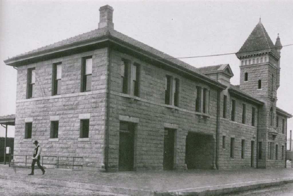
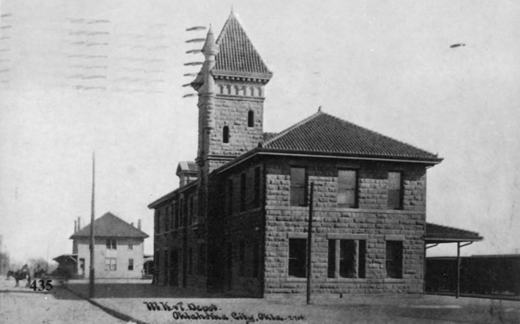
The Katy. The Missouri, Kansas & Texas Railway (Katy) entered our turf in 1902 when a Katy line was constructed from Bartlesville and, in 1907, Katy built a line from here to Atoka. Here's a 1904 Katy map:
For a high resolution image, click here.
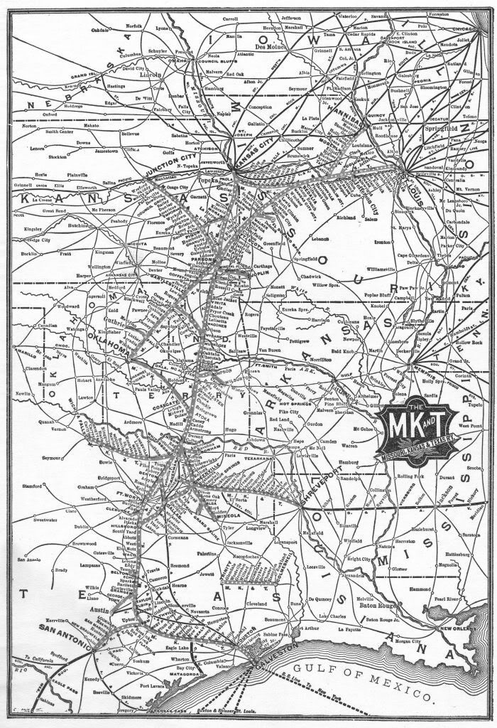
Close Up of Okc Area (larger image not available)

The Katy terminal was on the south side of E. Reno just east of the Santa Fe tracks - roughly where the parking lot north of the U-Haul building is today.
(Windsor Publications 1982)
Credit: Vanished Splendor III by Jim Edwards, Mitchell Oliphant & Hal Ottaway
(Abalache Book Shop Publishing Co. 1985)
Credit: Vanished Splendor (I) by Jim Edwards & Hal Ottaway
(Abalache Book Shop Publishing Co. 1981)
For more about the Katy, click here
WHY ARE LOTS OF RAILROADS IMPORTANT? These and other smaller railroads popped into Oklahoma City in the span of a few short years. Another, not mentioned above, was the 1903 Oklahoma City and Western Railroad which ran from here to Quannah, Texas, 146 miles away, southwest of Altus. It wasn't built because lots of Oklahoma Citians wanted to visit Quannah, or that lots of Quannah people wanted to visit here. It was done to develop and expand commerce, pure and simple.
By statehood, trains went to/from Oklahoma City to Sapulpa, Tulsa, Bartlesville, El Reno, Elk City, Lawton, McAlester, Atoka, Amarillo, New Mexico, Kansas City, St. Louis, Chicago, Little Rock, Memphis, Dallas, Ft. Worth, Galveston, Amarillo, and lots of other places in between.
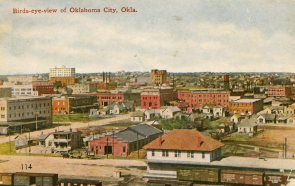
Oklahoma City had become a distribution center. The Oklahoma City Stockyards/Packingtown has been described in another post. Besides beef and other livestock, commodities like wheat relied upon rail to move the stuff around to points beyond. By statehood, Oklahoma had become the 7th largest cotton producer in the country.
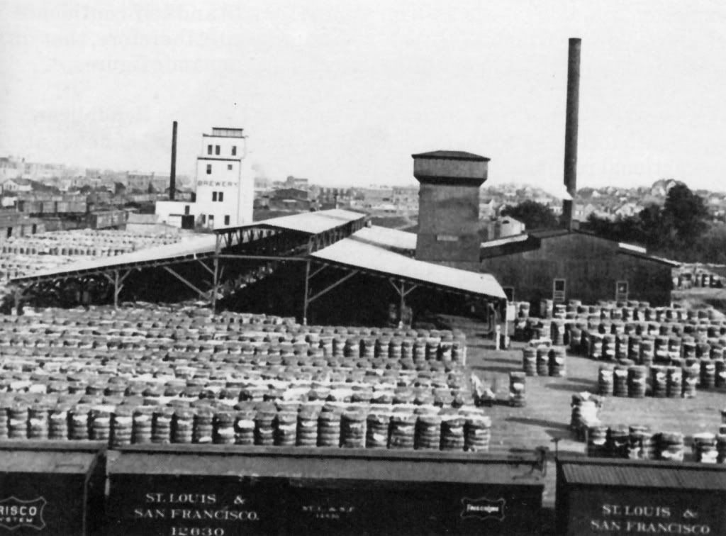
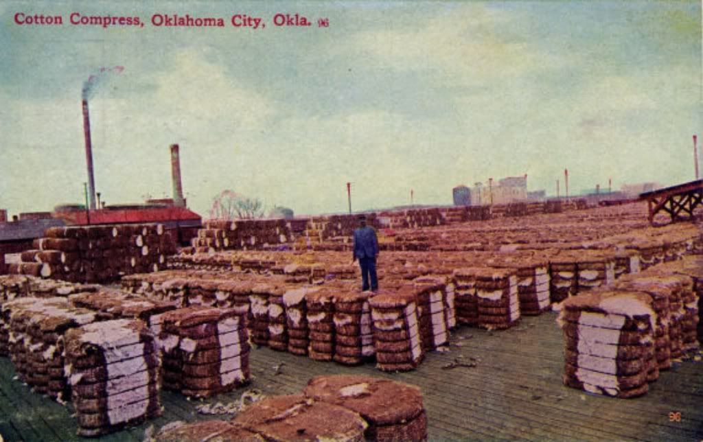
Cotton Compress. A compress "compressed" the fluffy cotton into tightly bound units for shipping elsewhere in the country and around the world for export, and where better to do that than right here in Oklahoma City!
The 1st location of Oklahoma City's Cotton Compress is shown below ... just south of the Katy terminal, south of Reno. A short street under I-40 paralleling the Santa Fe tracks is named, "Compress Street" to this day ... you can still drive that short road under I-40 and reach the cotton oil plant to this day.

This 5-acre facility began in 1898 and continued operations there until destroyed by fire in 1921 at which time a new compress was built at Reno and Eastern (to read about the "new" and much larger and "safer" facility, see the October 10, 1921, Oklahoman at page 10). The pics below show the original compress facility.
(Windsor Publications 1982)
Postcards generally available on the web

For more on the above topic, see Larry Johnson's nice Okc Metro Library article (you may need to click your "refresh" button after clicking the link) and this nice July 1, 1999, Journal Record article by Max Nichols.
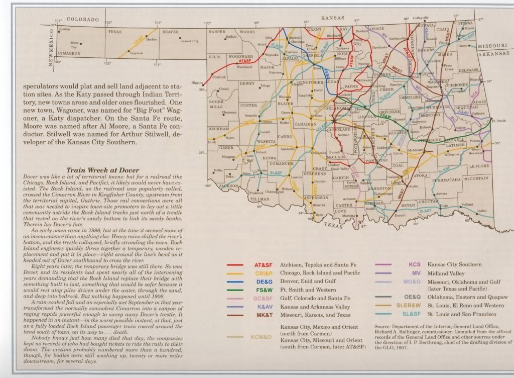
That's it for now ... but ... still to come in a few days are Trains Part 2 (The Roaring 20s [controversy about creation of a Union Station & the 1923 flood], the 1930s [new Union Station and Santa Fe Station, The Opening of Downtown, and The Present Day] and, the final installment, Okc Trollys & Interurbans.
Go to Trains Part 3 Go to Trains 3A Go To Trolleys 1
Go To Top


No comments:
Post a Comment