
Credit Greater OKC Chamber of Commerce

Lots of talk going round about what to do with the Union Station constructed in 1930-31 for and largely by the Rock Island but also the Frisco railroad companies. It is recalled that the construction of this facility and its attendant rail tracks were part of the process of getting east/west downtown rail out of downtown Oklahoma City, a story already told. See Trains Part II for more about that.
In that time (the 1930s), passenger rail traffic was of great importance to the city and our city's passengers were served by the Santa Fe, Katy, Rock Island, and Frisco railroads. Today, all are gone and only a vestige of passenger rail service remains in Amtrak's Heartland Flyer daily round trips to Ft. Worth. But, in these times (the 1930s), passenger rail was about much more than round trips to Ft. Worth — it was analogous to airline transportation today — and it would take you almost anywhere you wanted to go.
A pair of passenger rail depots remain — the Santa Fe Station, owned by Jim Brewer's family, and Union Station owned by Oklahoma City. What might develop with the Santa Fe Station as private property is beyond Oklahoma City's control. But, what might develop with Union Station, wholly owned by Oklahoma City, is wholly within your and my control, as citizens of the city.
Presently, portions of Union Station are used for the offices of the Central Oklahoma Transportation & Parking Authority (COTPA). Will that use remain the best use with the emerging Core to Shore? Does it have a better use? This article answers none of those questions.
It merely presents some different "looks" at Union Station than are more commonly seen, eye candy for train lovers. Yesterday, while enjoying an onion burger with my friend and partner-in-Okc-history Steve Lackmeyer (I gladly acknowledge my junior partner status — he's the Batman and I'm trying my best to be the analogous Robin) at Nic's Grill, 11th & N. Pennsylvania — Nic's was his suggestion (I'd never heard of it) — and during our conversation he asked, "Hey, do you want to go over to Union Station for a look-see," or something like that. "Sure," I said, and I picked up my camera on the way. On my arrival, Steve was already talking with Michael Scroggins, Public Information Officer for COTPA, and he very generously gave us a fine tour of the facility. The photos below were taken on June 26, 2009.
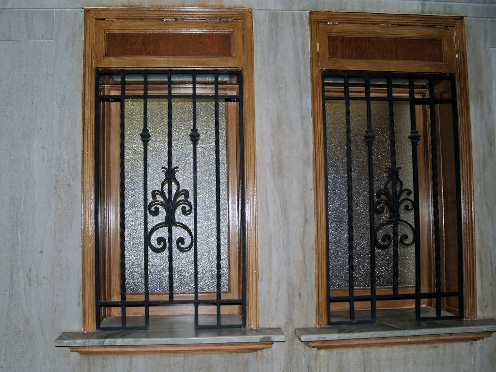
The Entry On The North Side
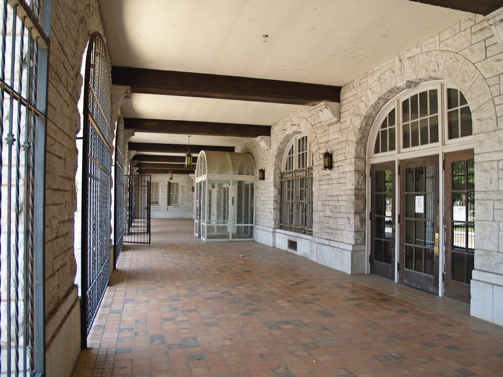
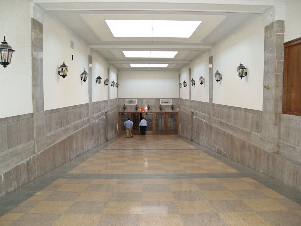
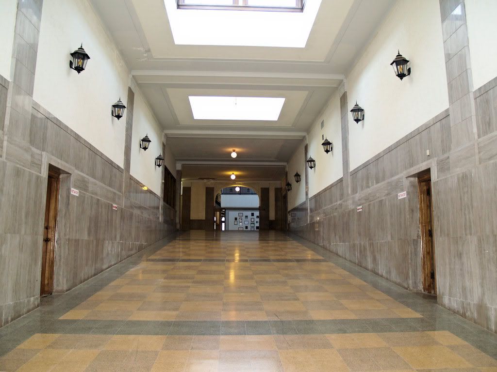
From the entry, we sort of walked clockwise through the facility, passing by a number of most excellent photos. Three are shown below.
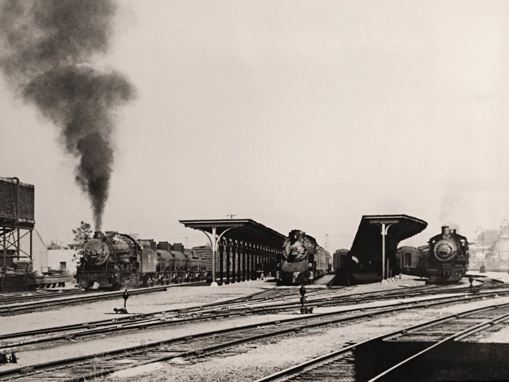
Temporary Passenger Ticket & Waiting Area
During the Station's Construction in 1930-31
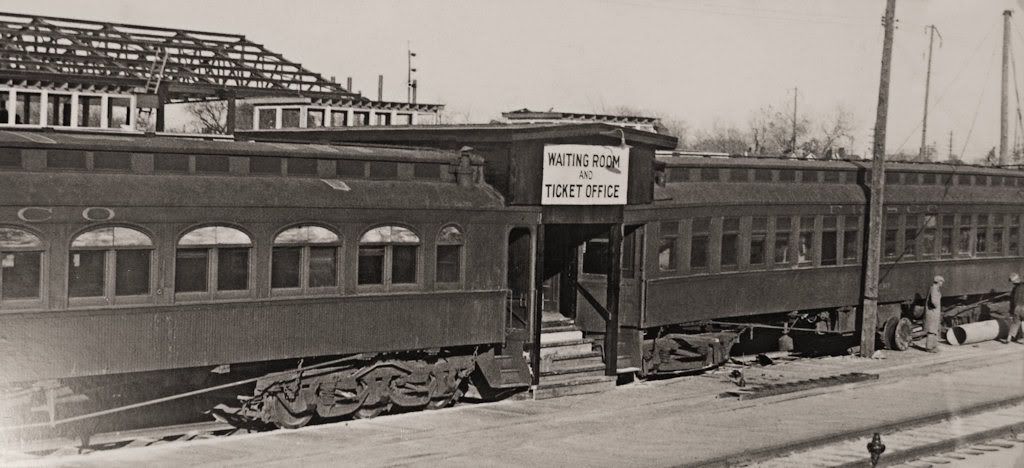
Inside the Temporary Facility
(the picture didn't say that but it's got to be)
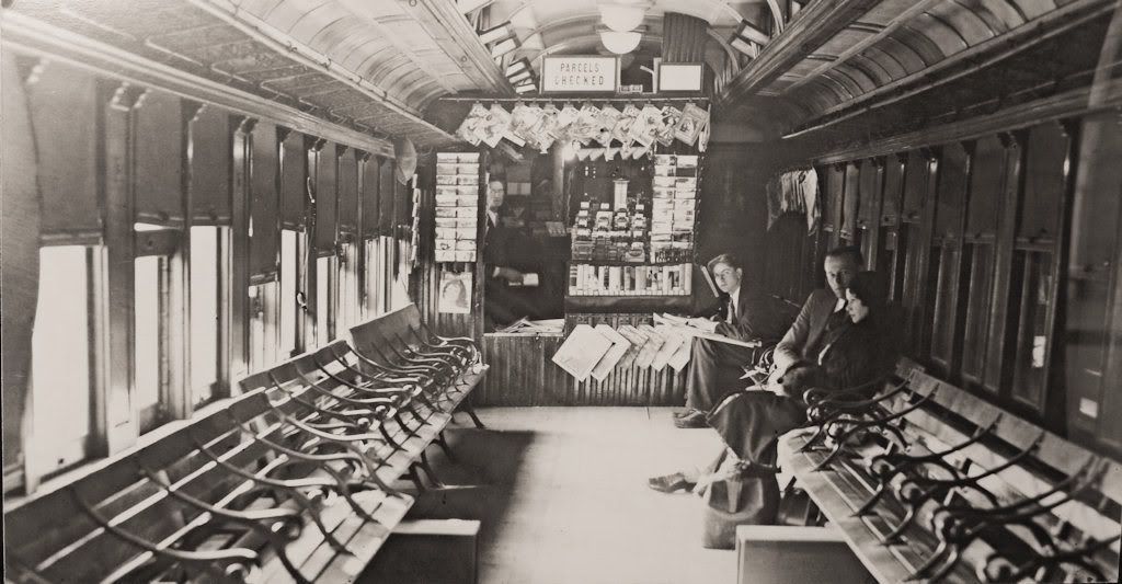
A Cropped View Of The Above
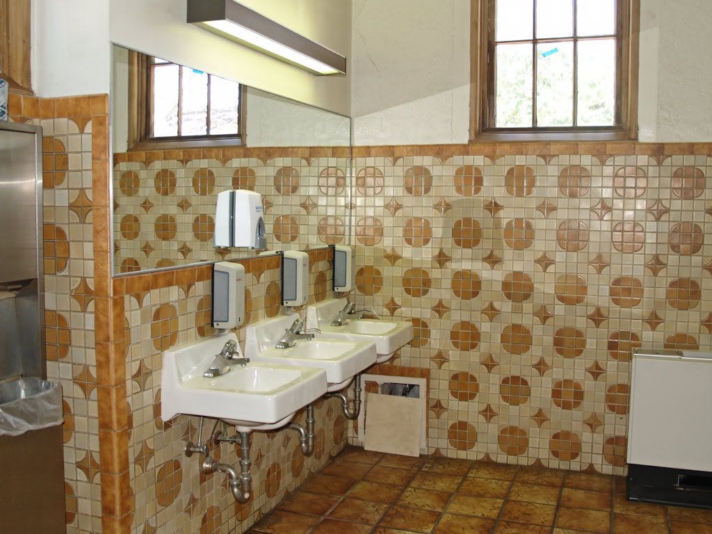
Passing by the photos, our 1st train stop was at a women's restroom (unoccupied). Michael wasn't sure but he thought that the wall and floor tile were original.

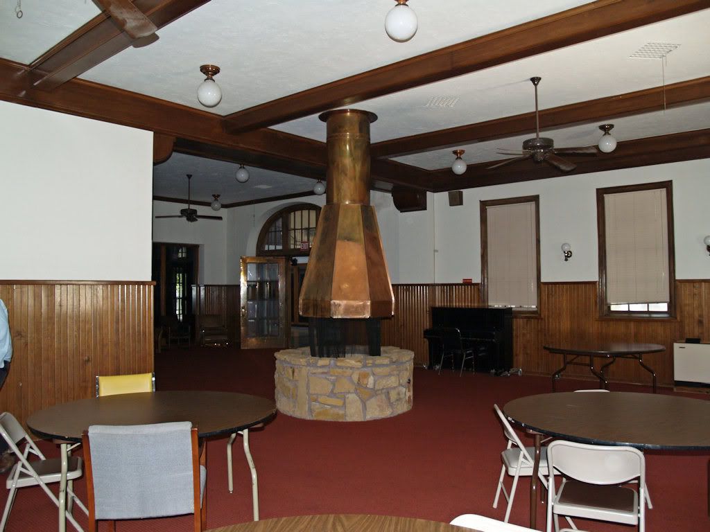
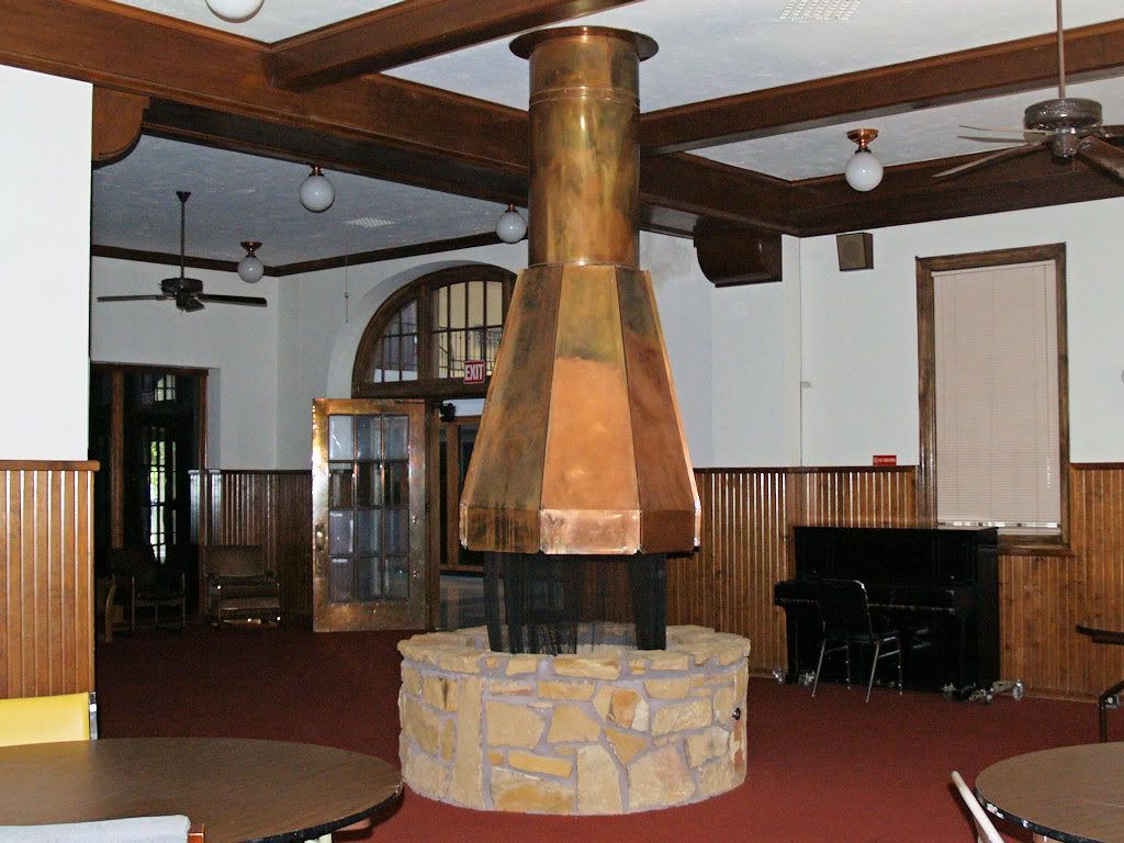
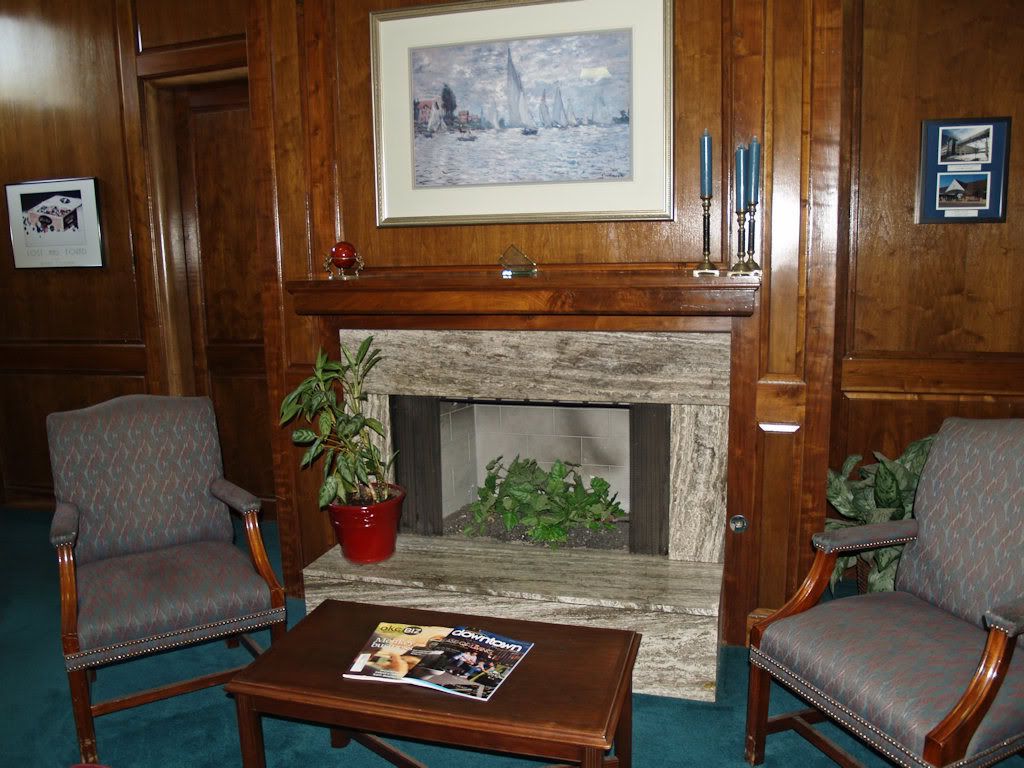
We passed by and through a few other areas. Below, a free-standing fireplace with a copper top — original? Michael wasn't sure but it seems doubtful that COTPA wold have built it. And, since the facility opened in 1931 and closed as a passenger depot in 1967, during that 36-year history improvements and changes were doubtless made.
A Cropped View of the Above
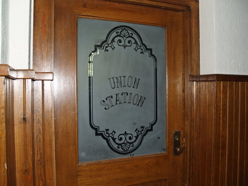
A Nicely Preserved Door With Cut Glass Window
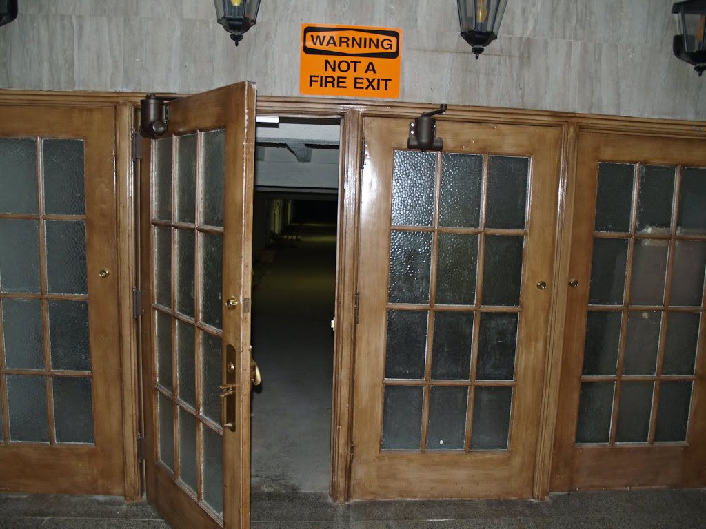
One of the elements of the station which has intrigued me is the underground tunnel which runs to the south and under the rail tracks. I asked Michael if we could enter the tunnel — Steve thought I was asking too much, but, the way I see it, if you don't ask, you don't get. How pleased was I when Michael accommodated! By all reports, the tunnel provided the means for passengers to get to their points of embarkment but during my walk-through I couldn't see where that would have occurred. The next series of photos takes on a walk of the whole thing!
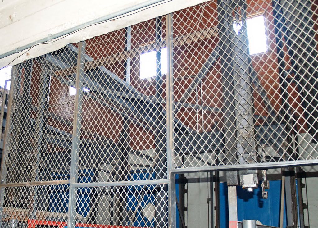
A Look Up At The Skylights

Outside The Doors
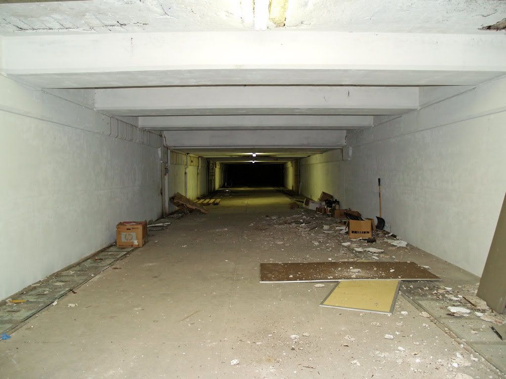
Inside The Doors Looking South — The Odor Was Musty
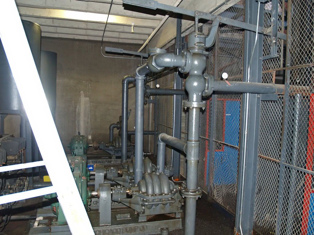
Along the tunnel, a room was present at the east side. Though I know nothing of hydraulics, etc., it was obviously used to elevate stuff from that level upward to ground level. What kinds of stuff? People, too? It didn't look people-friendly to me, so I'm figuring freight and equipment.
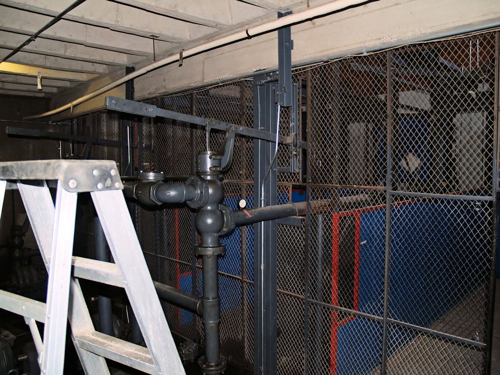
Looking South & Up To Ground Level

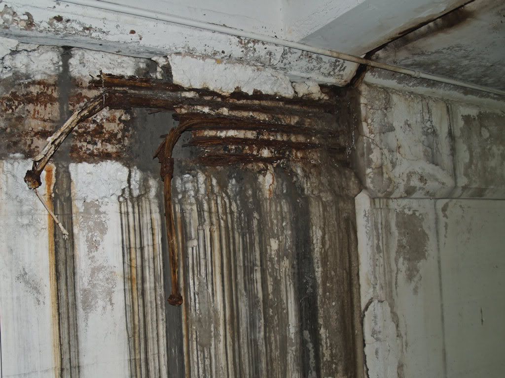
Back in the tunnel, this evidence of deterioration caught my eye — I have no idea what the photograph shows.
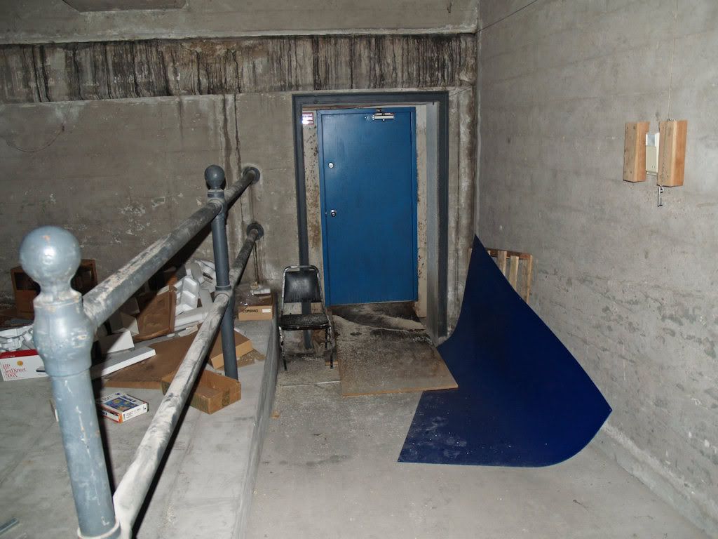
As we approached the tunnel's south end, I was expecting something other than a solid wall — like an up-ramp or something similar. Nope. Just a wall. Whether that was different earlier, I don't know.
At the east side of that wall, a small walk led to a blue door that we did not open.
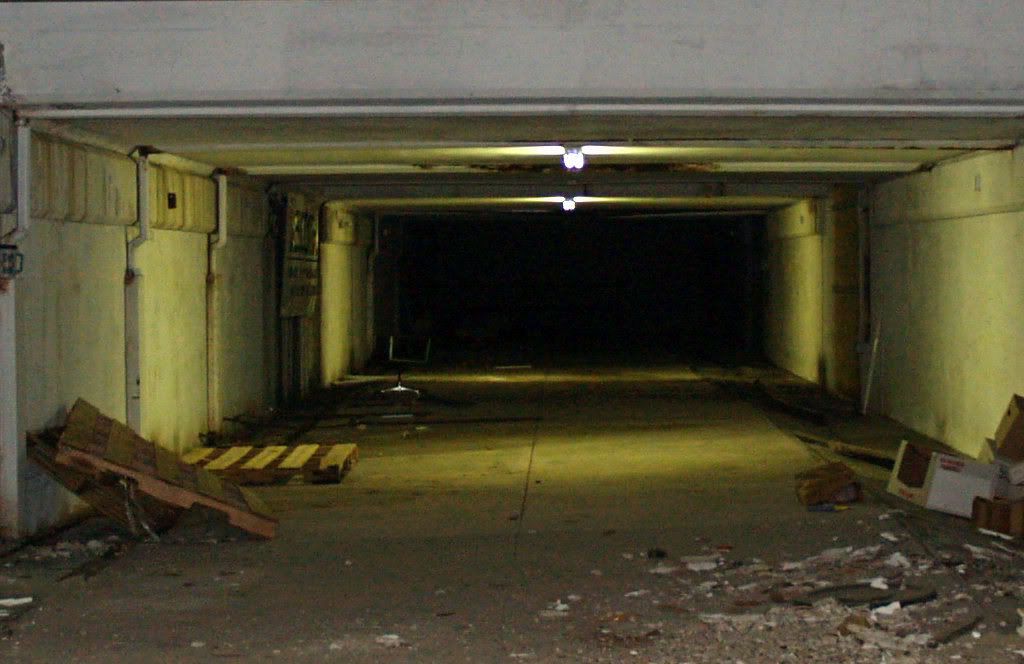
Turning around and looking north through the tunnel from the south wall, Michael pointed out something to me that my sleuth-less eyes had missed — a small track, this one on the west side. Another small track was located on the east side of the tunnel, and the tracks were doubtless used to move stuff to the waiting trains.
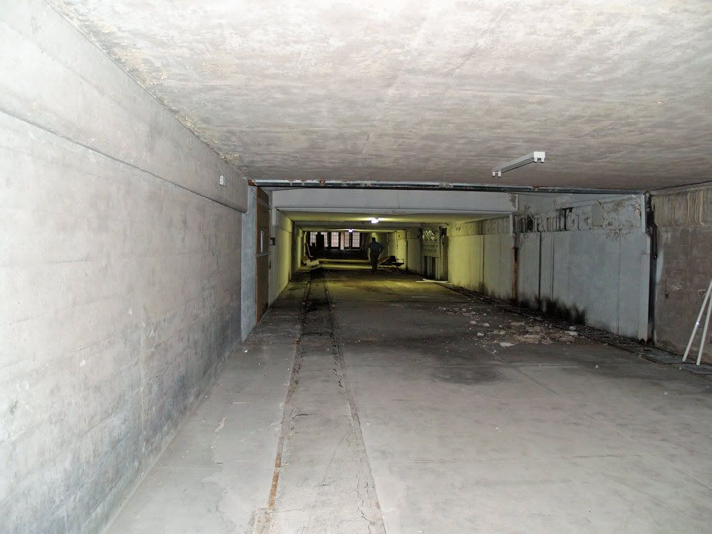
Exiting The Tunnel Toward Its Entry Point

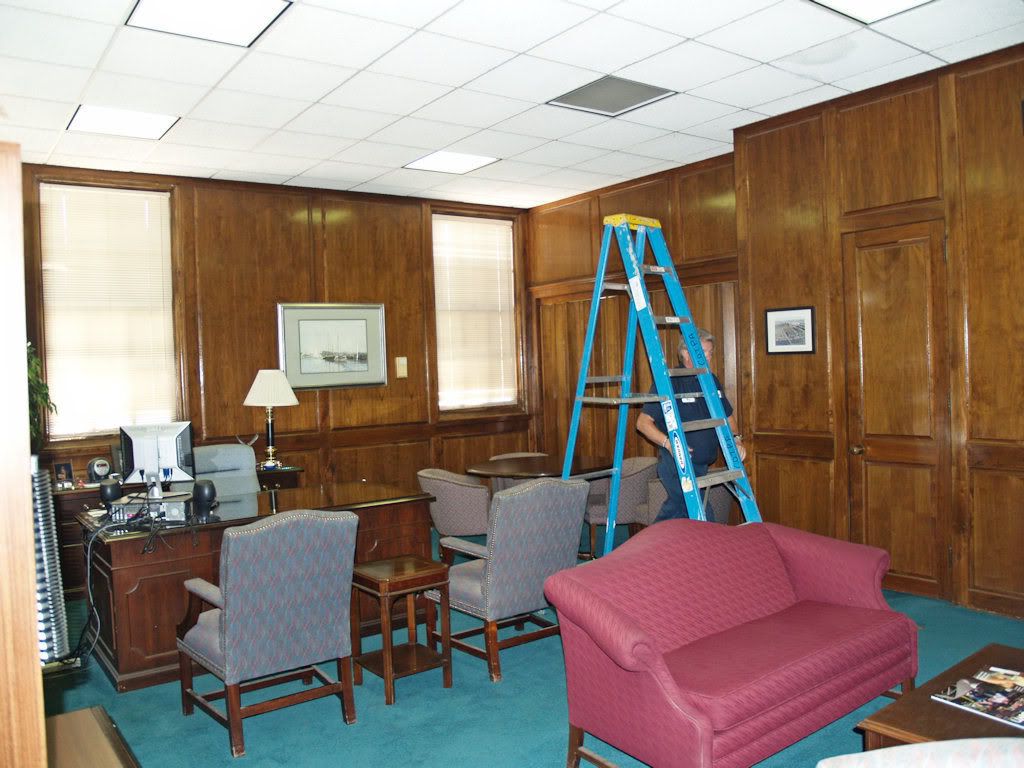
Topside, Michael showed the office in which COPTA's executive sits today, where the Union Station executives did in days gone by. The office is located at the southwest corner of the building.
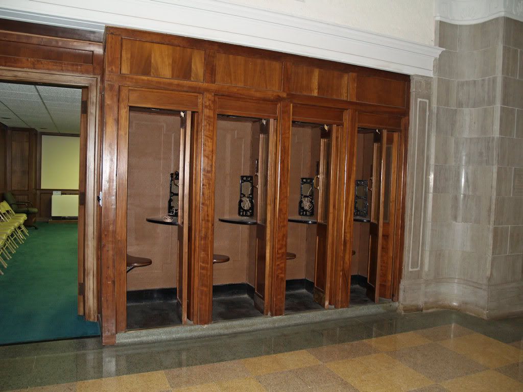
Back in the main terminal area, one could use one of the mahogany phone booths (very nicely preserved) and buy tickets.
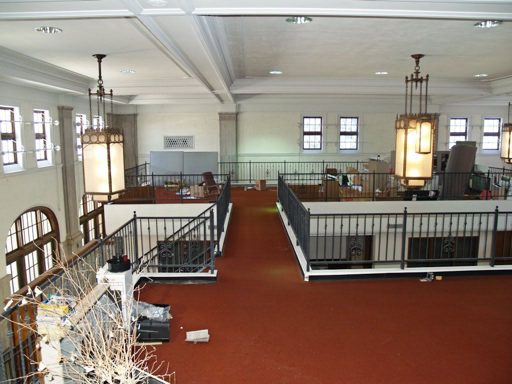
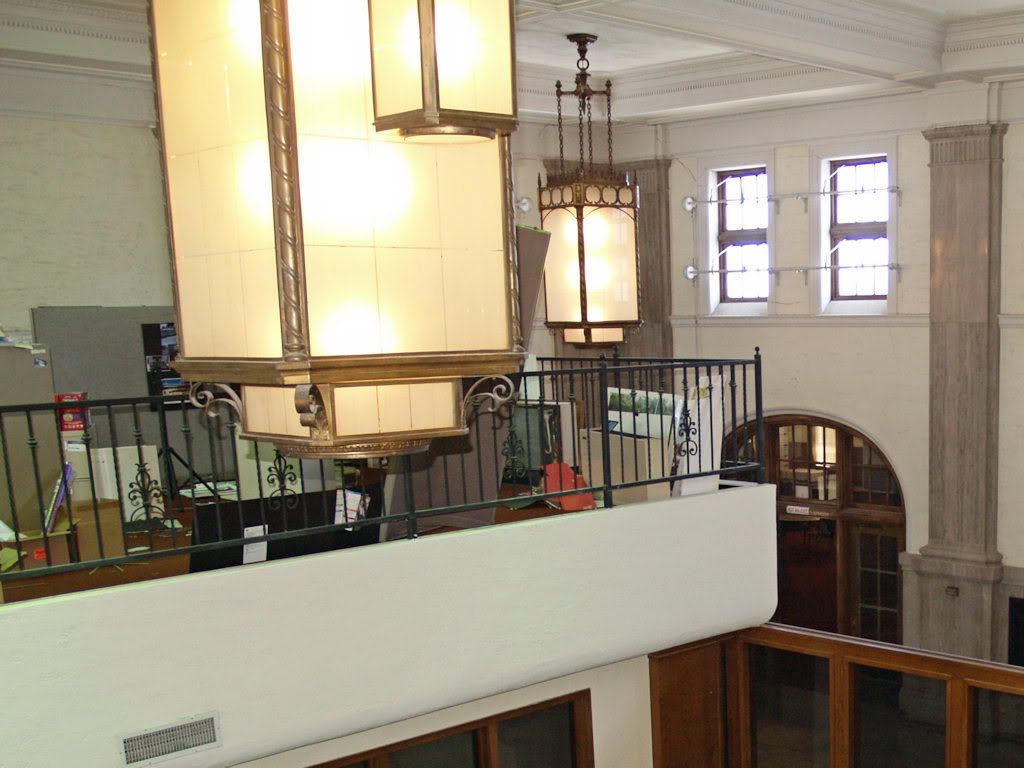
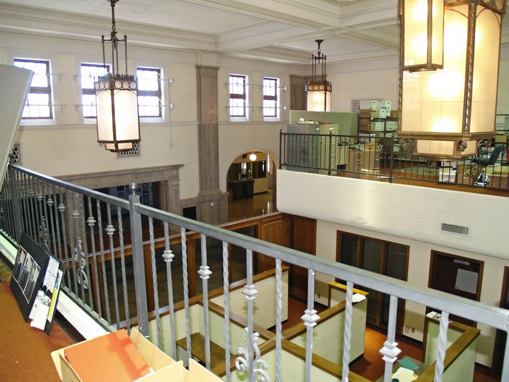
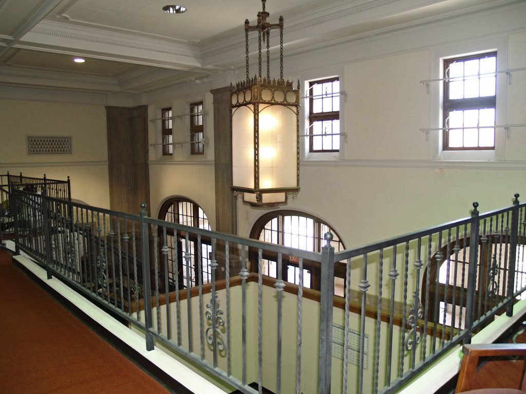
Michael had to leave for a meeting at this point (Steve left while we were touring the tunnel), but he said it would be OK to go upstairs and take a few shots, which I did.


Well, there you have it, Union Station Circa 2009. In many ways and notwithstanding its COTPA occupants who are caring for it well by everything that I observed, the building is already a museum . . . it is already a museum ... it is already a museum ...
Thanks, Michael Scroggins, for being our very friendly and accommodating guide of this great little tour!


5 comments:
Too bad the plan for I-40 destroys the rail yard and potential of Union Station as a transportation hub. A small bend would save the yard and use land already owned by ODOT. Reproducing later what will be covered over will cost 100's of millions in the future - sad, shortsighted, regretful.
I just now drove down to union station and as a person who loves history and born and raised in Oklahoma I have to say I never knew it was here. I have traveled to Texas just to travel to all of the old missions to learn of it's history and to teach my children and show them a bit of history. As an okie I would LOVE to see Union Station put back together as it was in the 30s and let people know that it's there and use as a tourist attraction. With the maps program it would be an awesome attraction among the park that the city is planning. I don't think i40 reconstruction has hurt the station. All the buildings and dirty stuff around it hurt it. With i40 right behind it people might be able to see it and just might be interested in it and just maybe want to stop. A small fee for entry would suffice for up keep. It is a nationally registered land mark. Put out there for the public like the Alamo. It's a wonderful piece of Oklahoma history!!!
Charlotte Walters
Thanks, Charlotte,
Yes, this place is indeed a historical jewel of the city and it will hopefully be an important and integrated element in MAPS 3's central park, but that remains to be seen as this comment is written. There are lots of rail, as well as general historical supporters, here, so hopefully the enormous promise of this historic facility will not be taken lightly.
I wish in some areas that the place was better kept! I am looking at locations to do an engagement shoot and this would be so cool!
-Natalie
Thanks, Natalie, for the comment. Actually, it looked to me that COTPA has done good job of historical preservation on this property. Maybe you meant the surrounding area, but that will change with the MAPS 3 central park elemet.
Post a Comment