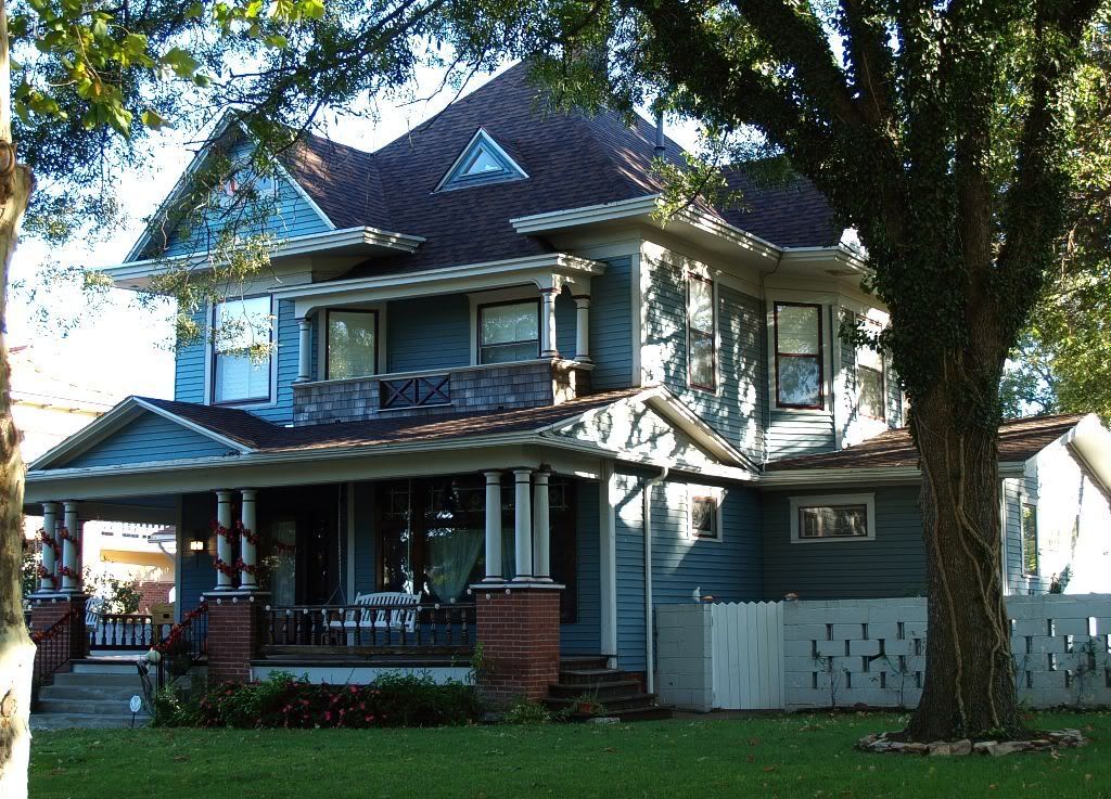
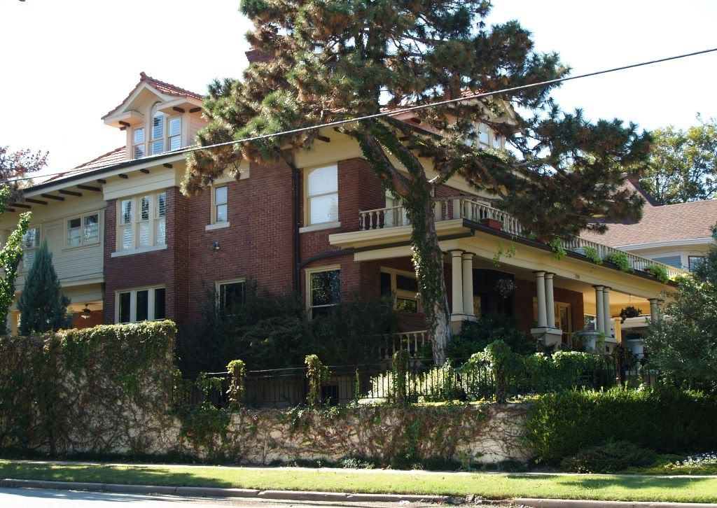
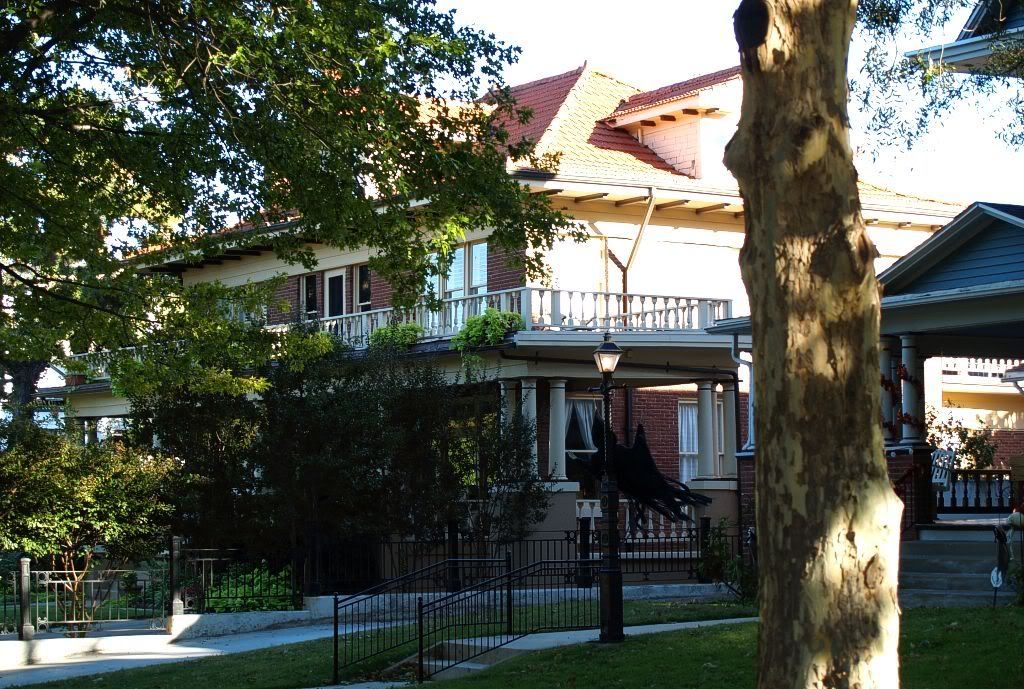
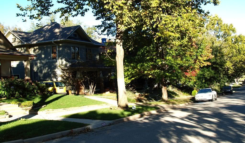
This article is about Mesta Park, one of the oldest and most beautiful historical neighborhoods in all of Oklahoma City. Although much of this article (and related Mesta Park articles) largely presents "eye candy," some historical information is included and more will be added when I learn of anything substantial.
Click a link below to move directly to any area in the "manual tour" series of articles. Within an article, click on a main topic to move to the next main topic (e.g., clicking on "16th Street" moves to "17th Street") in the same article. Unless otherwise noted in the "manual tour," click on any image for a larger view. The "manual tour" itself has been broken into multiple pages so that the graphic-laden pages will load more quickly — but all are linked together to form a unit. The "video" version of the tour, above, follows the same path.
| History | The Tour | NW 16th | NW 17th | NW 18th |
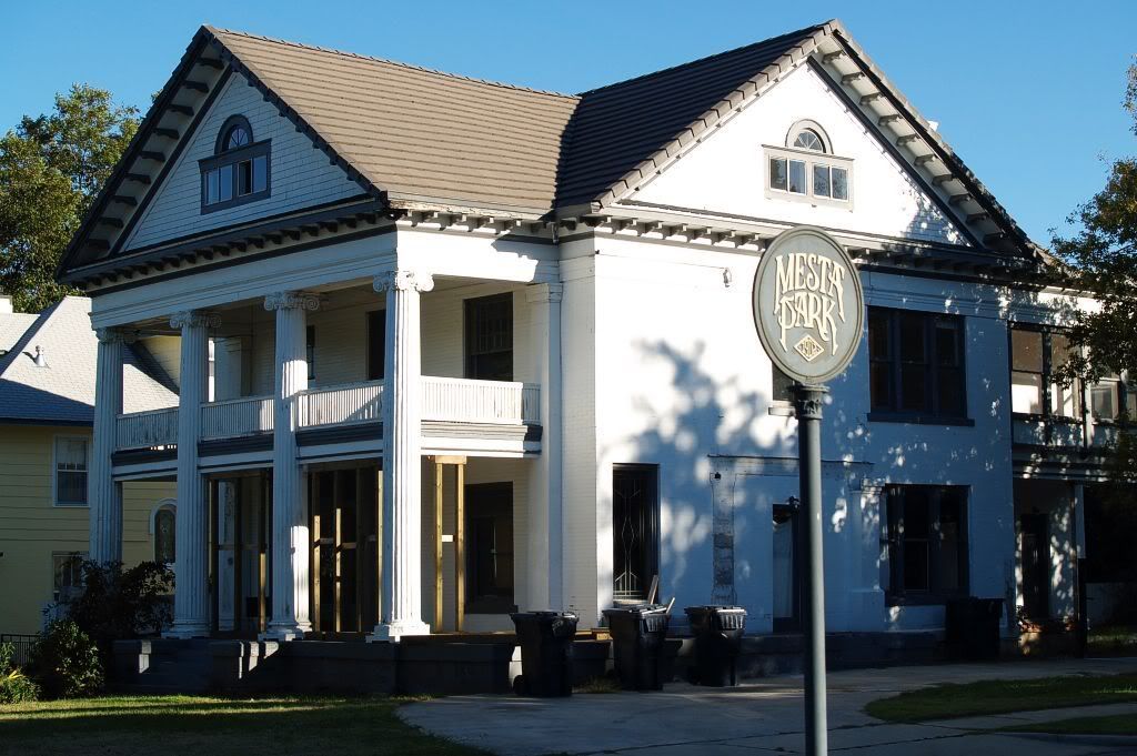
| Shartel | Mesta Park | NW 19th | NW 20th | NW 21st |
| NW 22nd | ||||
HISTORY. In the beginning, no such thing as "Mesta Park" existed in Oklahoma City, notwithstanding that inference in the Mesta Park "1902" Street Post which began this article ... that title was an innovation which occurred in 1974 or so (I'm checking on the date) in honor of the most well-known citizen who once lived here, even if she only lived in the area for a brief time.
What was formed in 1902 was the plat, "University Addition" to Oklahoma City, filed with the Oklahoma County Clerk on June 16, 1902 — to become a largely residential area then located in the country about a mile northwest of then existing Oklahoma City but including a proposed university — Epworth University — for which Oklahoma City, Enid, and Ft. Worth were vying to become the home.
University Addition was bounded by Walker on the east, now-called Indiana Avenue on the west, NW 23rd Street on the north, and NW 16th Street on the south. A 16 square block fifty-acre tract to the west of center was the proposed home of Epworth University, as shown by the plat filed for record with the Oklahoma County Clerk in Plat Book 3, Pages 23-24.
Click the image for a larger view;
Click here for a much larger view

If you look closely at the much larger image, the words, "Metropolitan Street Railway," appear along the proposed rail track in the center of Northwest 18th Street, it being proposed and/or contemplated that the planned trolley system would run well into the heart of the proposed university!
The original plat was dedicated by the area's property owner, the University Development Company, signed by Anton H. Classen, President. In Oklahoma County: Heart of the Promised Land, Bob Blackburn writes,
The Oklahoma Street Railway Company also was the catalyst needed to attract Epworth College (Oklahoma City University) to Oklahoma City and to develop more than a dozen new residential additions. This significant turn of events began in 1902 when the Methodist Episcopal Church and the Methodist Episcopal Church, South, officially stated a desire to locate a church-sponsored college in Oklahoma. Classen and [John] Shartel, who owned extensive tracts of land north and west of the city, conceived a scheme through which all parties would profit.I'll not develop Epworth University further here ... but these are the roots of what would become "Mesta Park" more than 70 years later. See Okc Trolleys 1 - Epworth for more.
The offer, which guaranteed 50 acres of land and a $100,000 endowment fund for the school, was made by the Oklahoma Commercial Club [forerunner of the Oklahoma City Chamber of Commerce] and its president, John Shartel. The terms of the pledge were to be fulfilled by the University Development Company, of which Classen and Shartel were the dominant directors. * * * To make the entire project successful, Classen and Shartel agreed to construct a streetcar line to the new addition.
Although the actual trolley route never plunged into the heart of the university, it did pass nearby at University Station located at what is now NW 17th and Classen Blvd. — a historical marker just north of Braums on Classen marks the spot. See Trolleys Part 1 for more about that. The 1904 Sanborn Map Company Oklahoma City map gives a good look at Oklahoma City at the time ... the "Index" page is shown below, followed by a cropped view of what would become the "Mesta Park" area:
Click here for a much larger view
Click here for a still larger view

Cropped Area Showing What Would Become Mesta Park
(Click the image for a larger view)
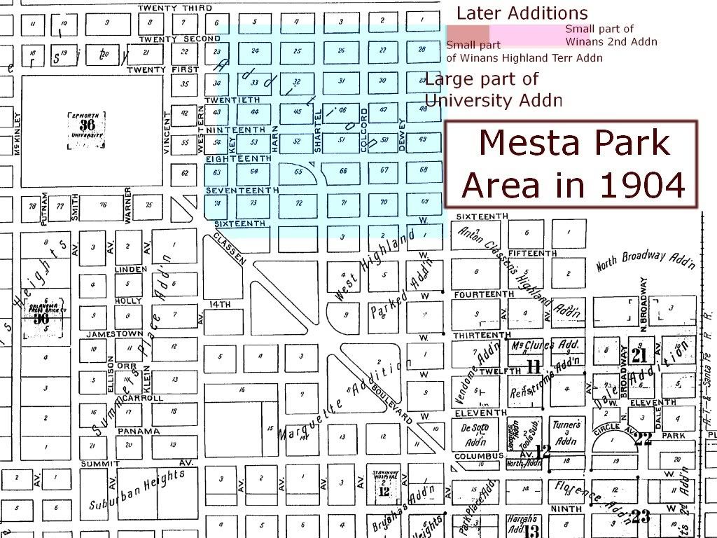
Note that what would become the "Mesta Park" area also includes a "panhandle" along NW 22nd Street from Walker to Robinson, areas which were not part of University Addition. Also, note that, in 1904, most of what would become "Mesta Park" (the University Addition part) was fully platted but that what would become Heritage Hills to its east was not, it then having NW 16th Street as its northern boundary.
Early Day Images. I've not yet found many but those which follow give an idea of what some of the homes were like in parts of the area. Although now lush with trees, note that only seedlings were present in the early days. The vintage pics below are from Jim Edwards & Hal Ottaways' Vanished Splendor II.
The leftmost house was built in 1915, the next 3 in 1914

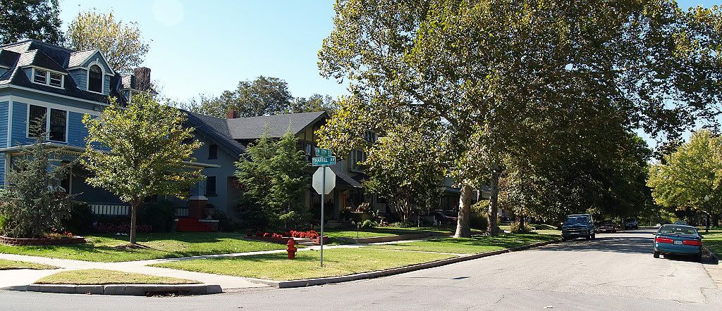
The Same Area Today
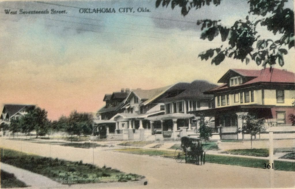
Looking West along the 700 Block of NW 17th
The rightmost was built in 1913, next in 1909, the next 1912
(I'll add a current comparison pic shortly)
Looking West along NW 19th (north of today's "Mesta Park")
The 2 homes at the right were built in 1910

The Same Area Today Is Obscured by Trees
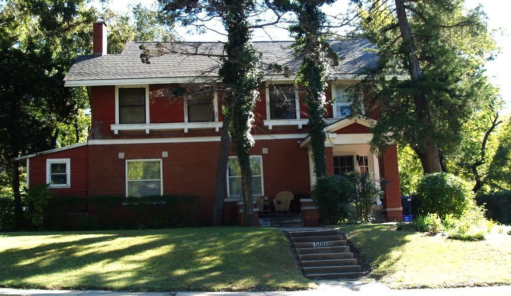
931 NW 18th
Vanished Splendor II says this was the home of Methodist Bishop William A. Quayle. Notice the homes, left and right, in the distant background.

The Same Home Today
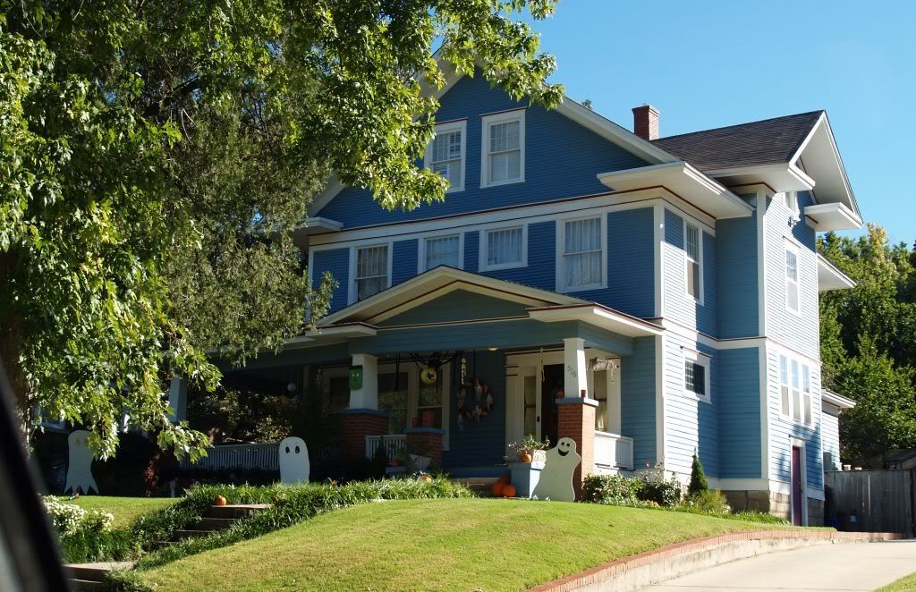
Looking West at the 600-700 Blocks Along NW 16th
At left, built in 1906; the next in 1905; then the "Perle Mesta" house in 1909

The "last two" of the above homes are shown below:
Looking Southeasterly
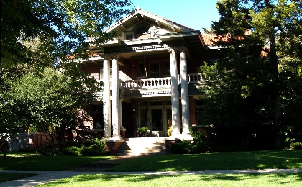
The "Perle Mesta" Home, Looking Southeasterly
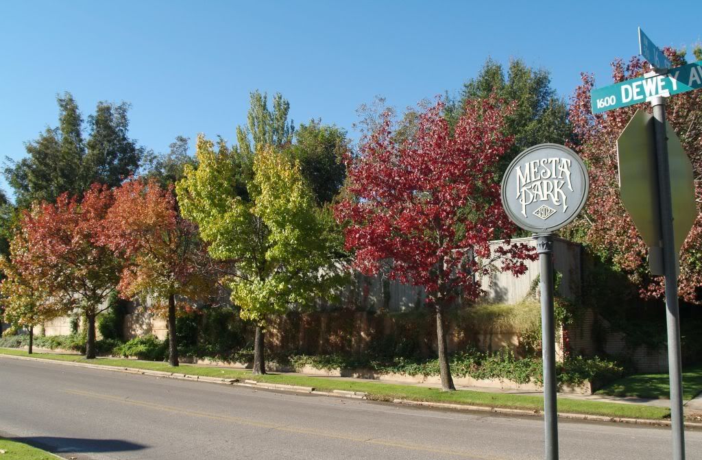
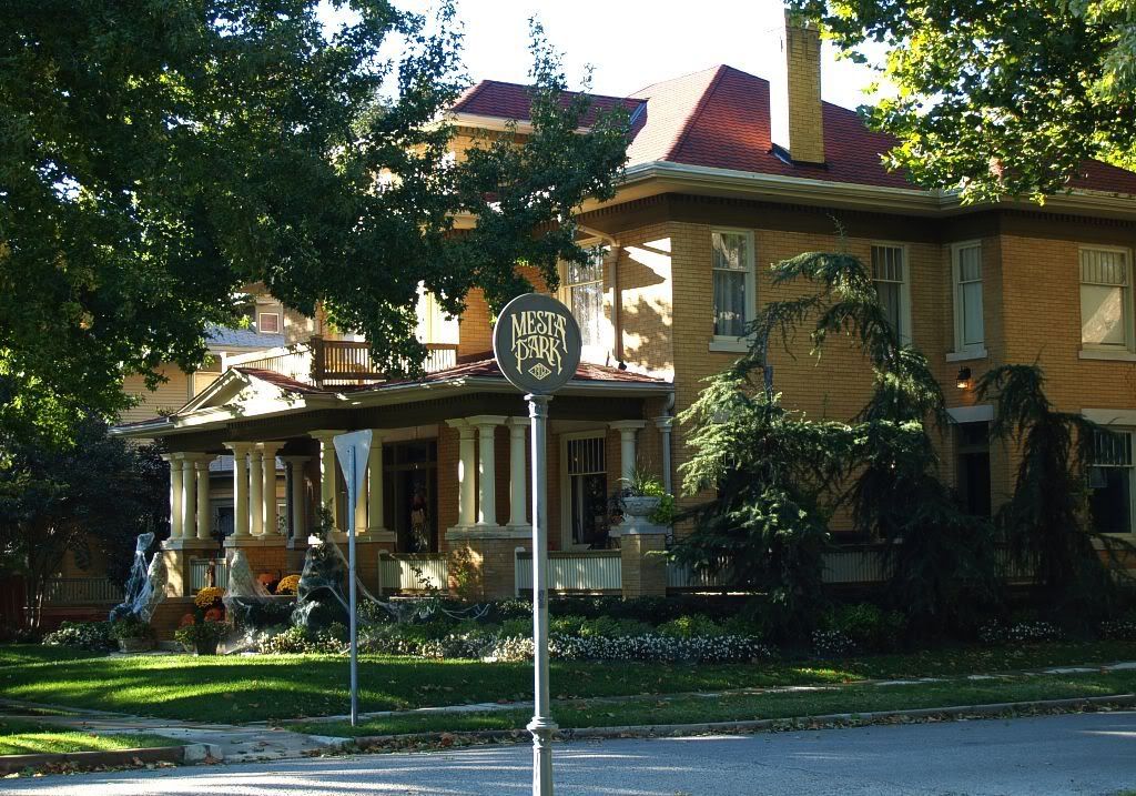
Why "Mesta Park?" That's a fair question since, as discussed in the Perle Mesta article, she only lived in the above NW 16th Street house for a year to two at most before her daddy, Bill Skirvin, sent her "back east" to receive a fine education and where she met and married Pennsylvanian George Mesta. So, why not call it the "Bill Skirvin" or, perhaps better, the "Edward Overholser" (who owned a fine home on NW 17th) Neighborhood Association, both of whom doubtless made greater contributions to Oklahoma City than did Perle!
Well, that's not too hard to figure ... SHE alone was the "Hostess with mostes'" and her fame went well beyond our borders ... and, when you get down to it, it's just a pretty "elegant" name, just like Perle, and just like the neighborhood ... so, sure, the moniker works for me! The area is one of nine historic preservation districts in Oklahoma City and it has a nice website at http://www.mestapark.org/. It contains some additional historical information and also information about the area's architecture.
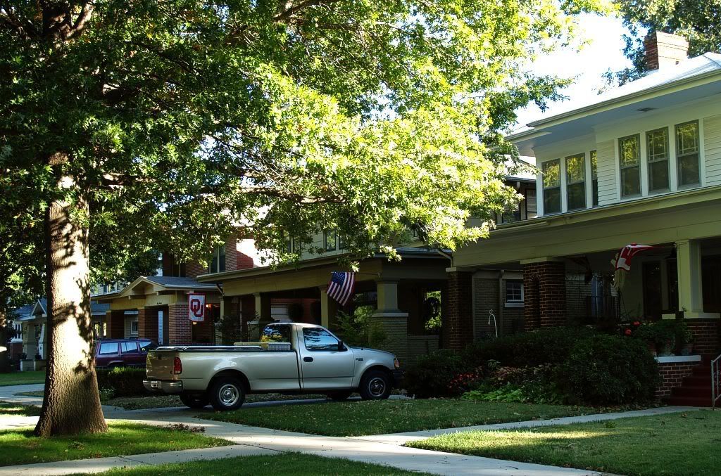
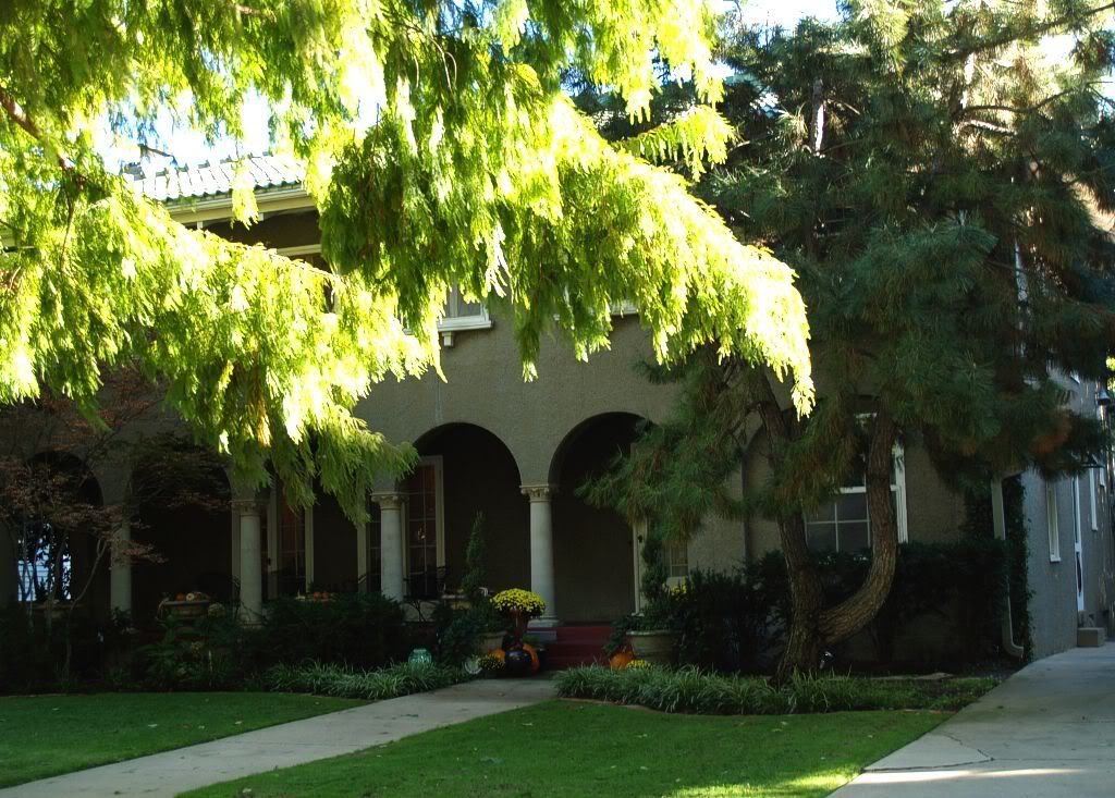
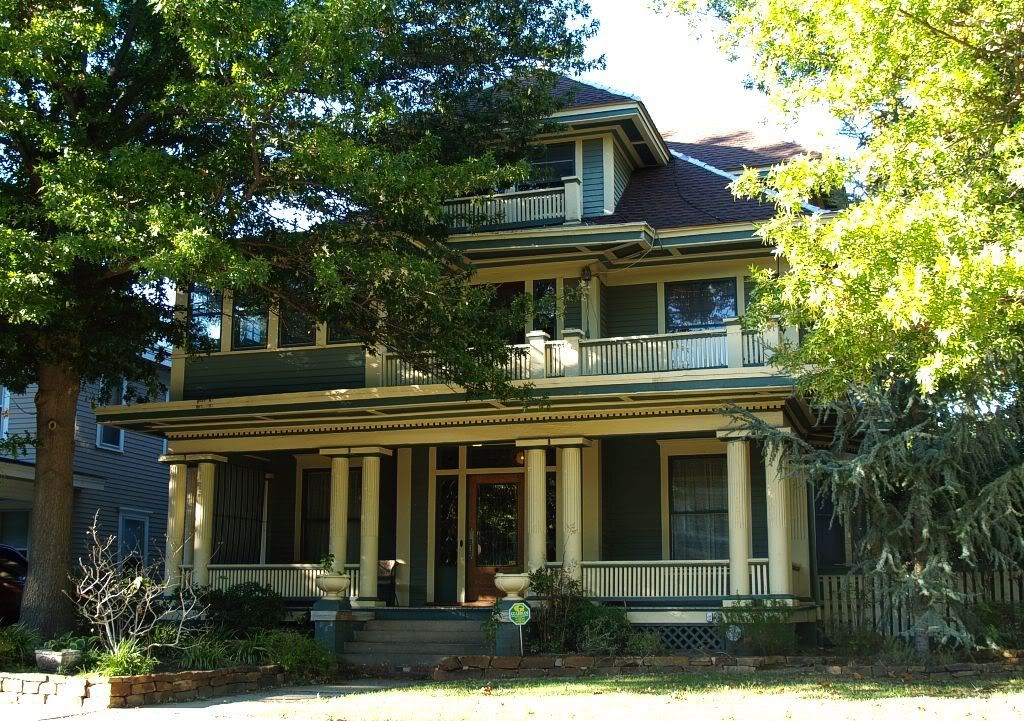
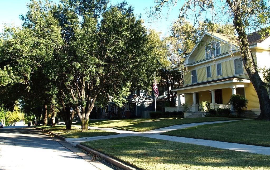
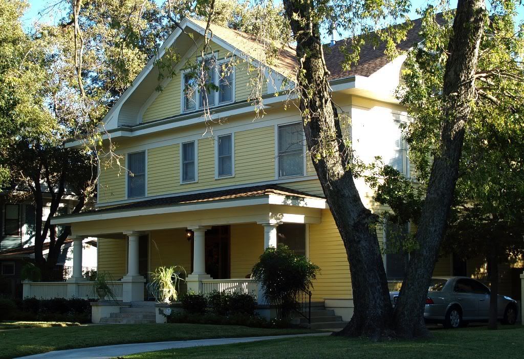
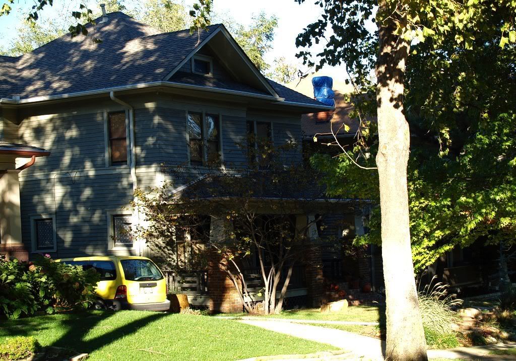
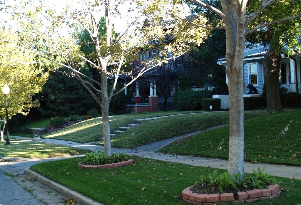
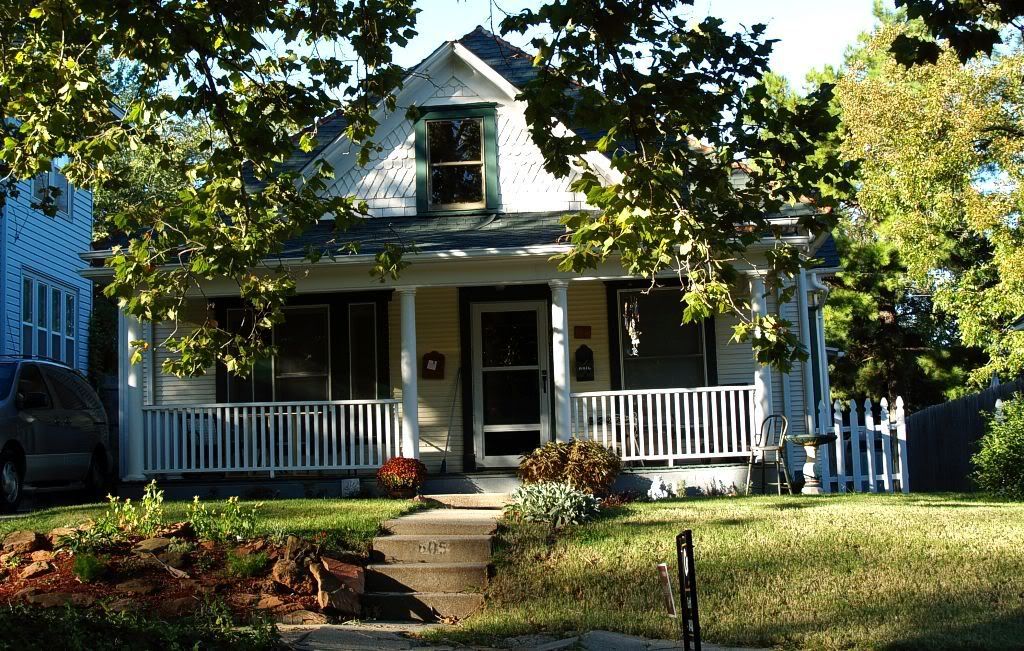
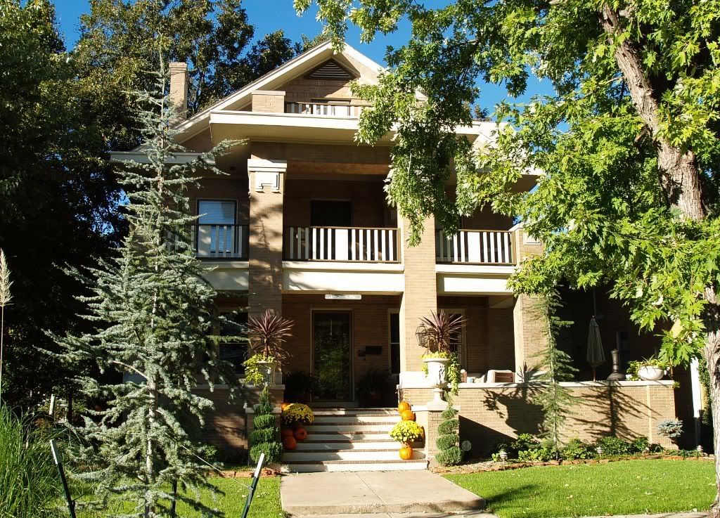
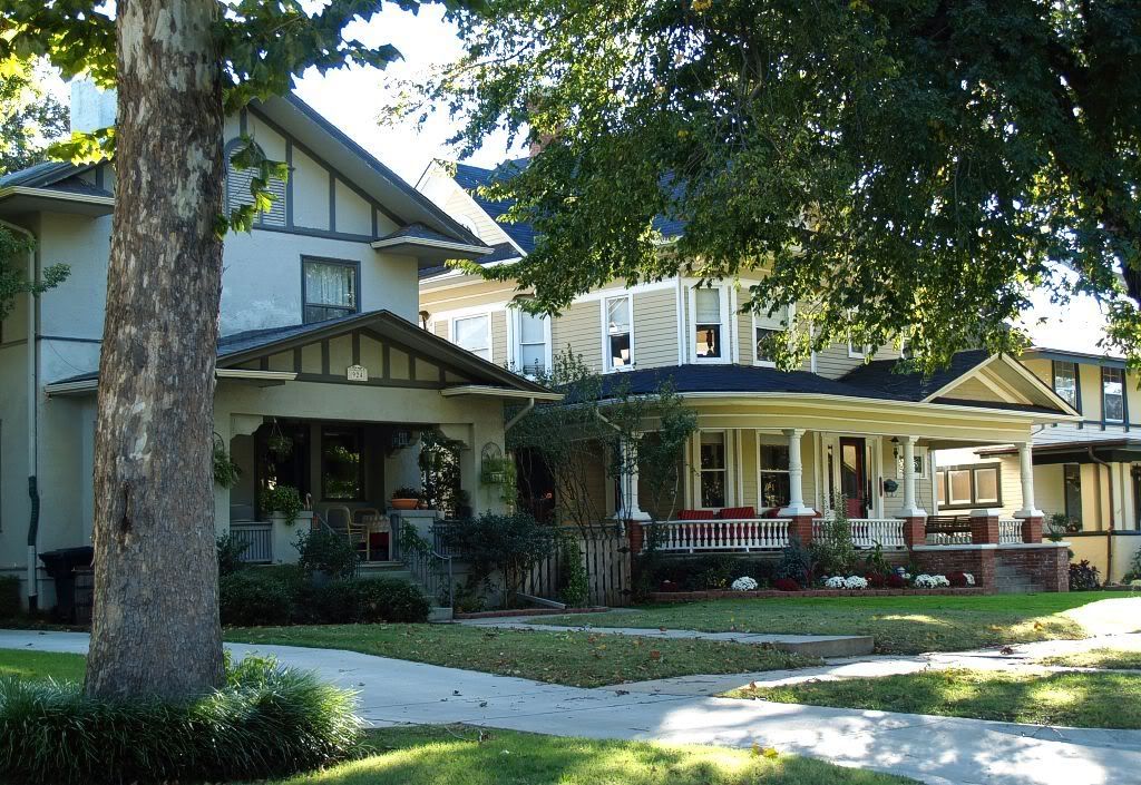
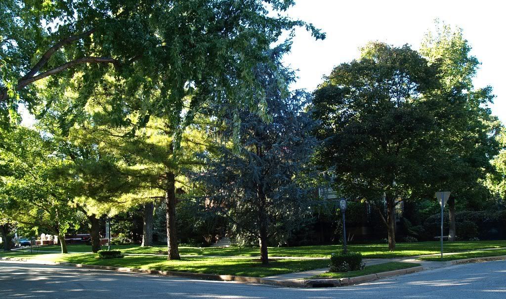
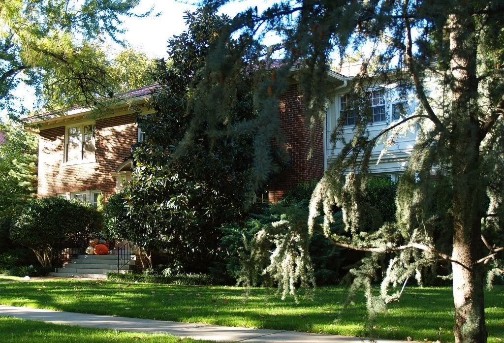
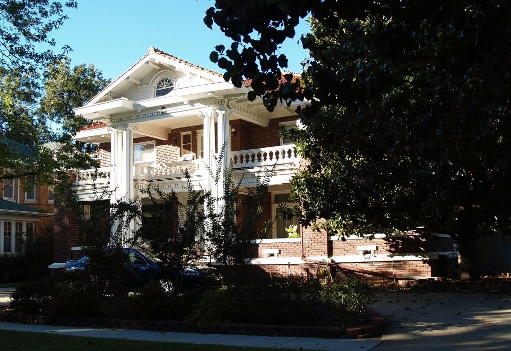
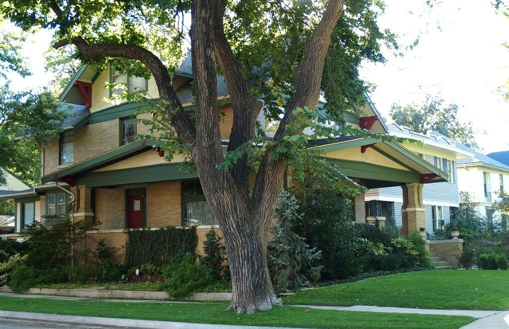
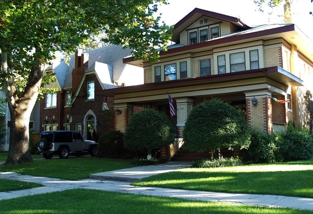
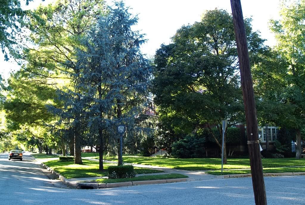
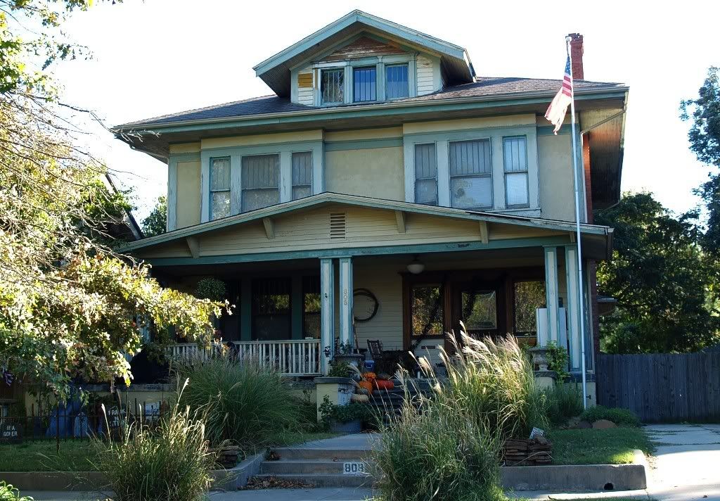
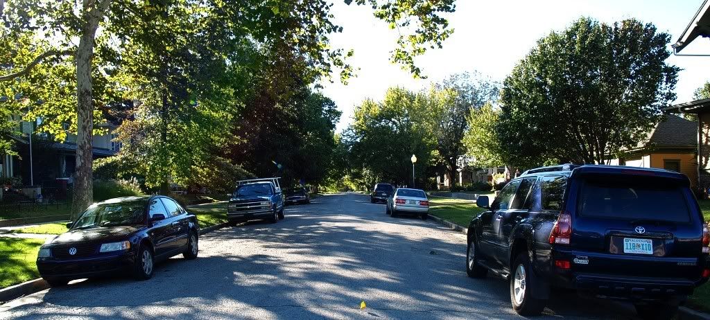
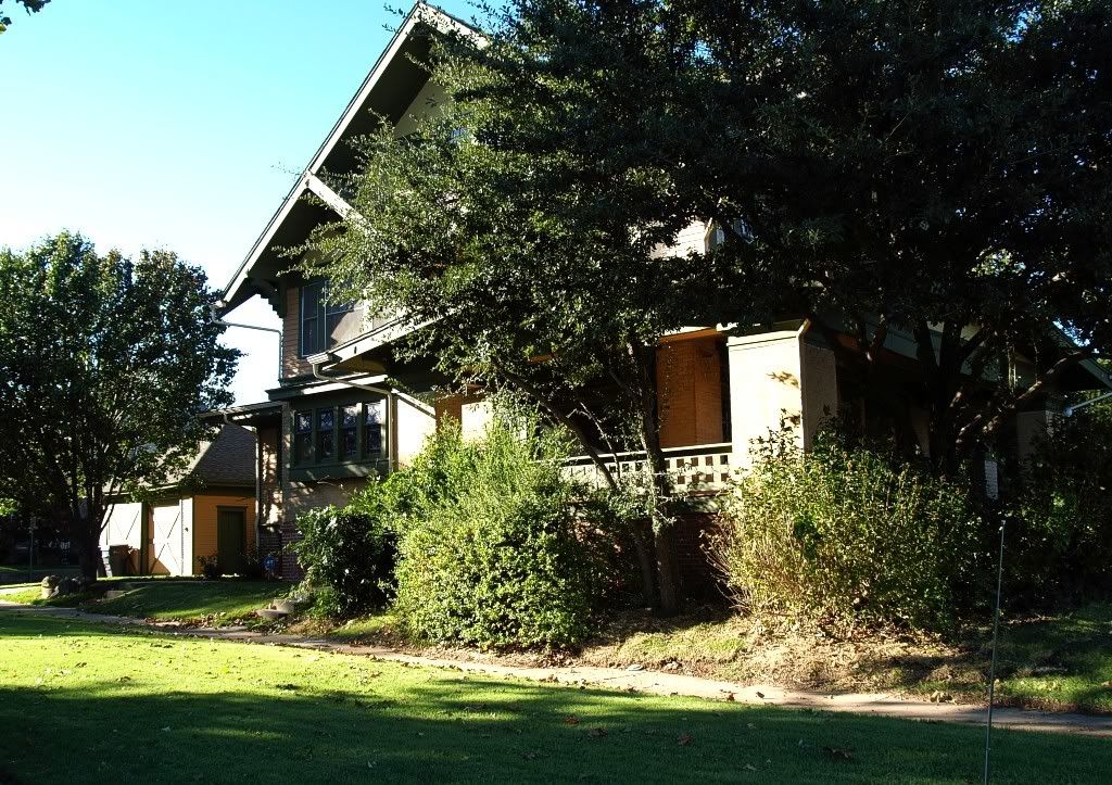
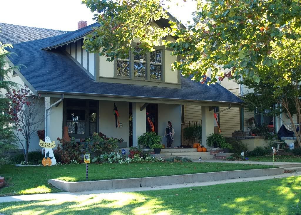
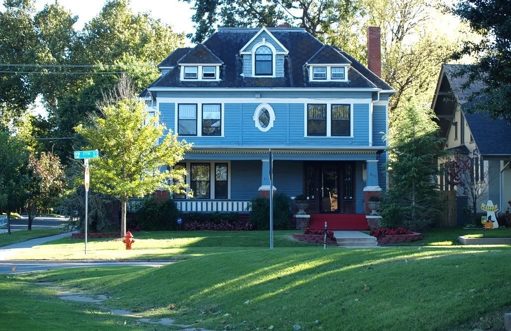
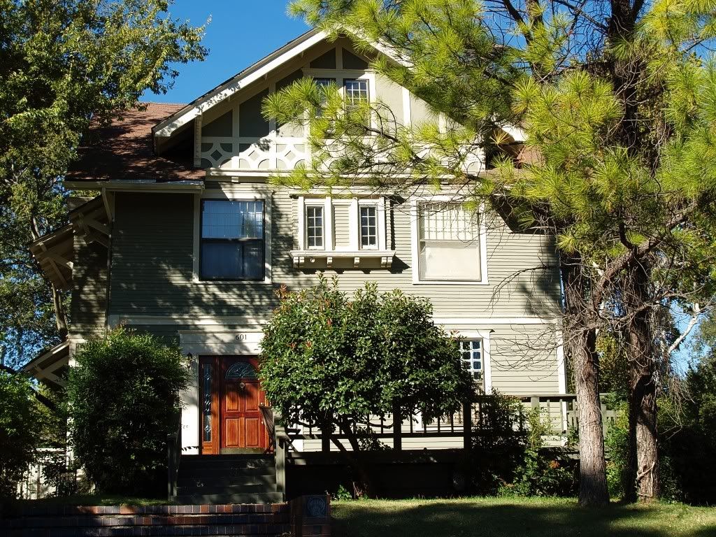
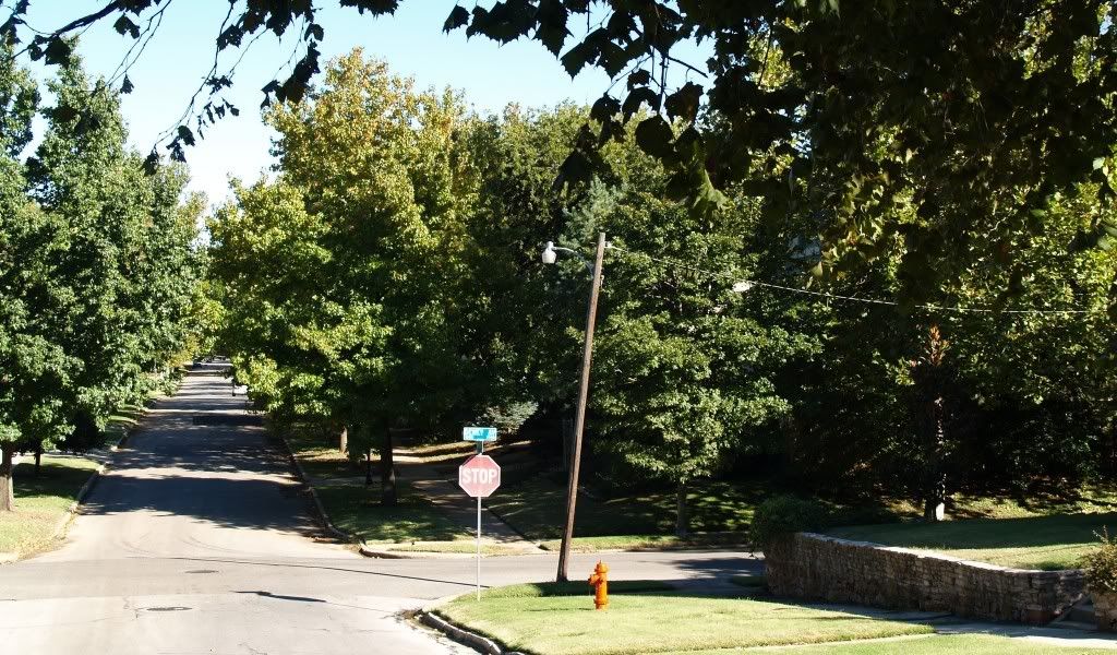
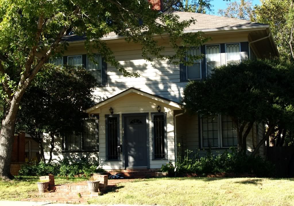
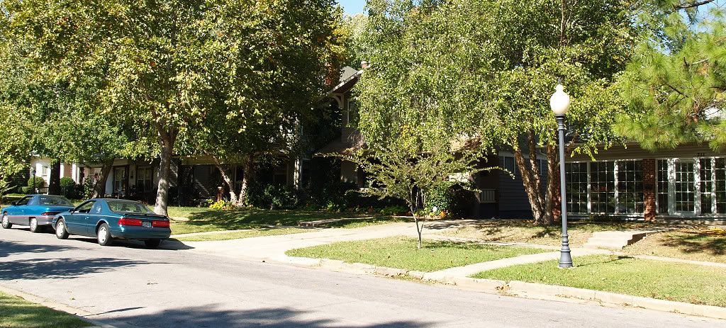
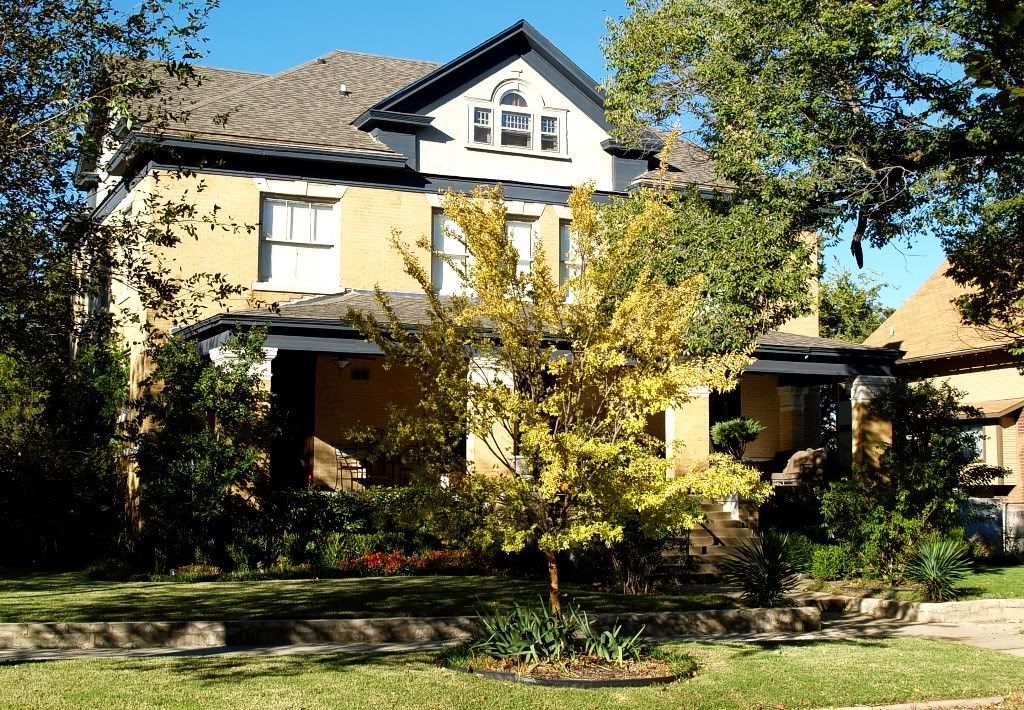
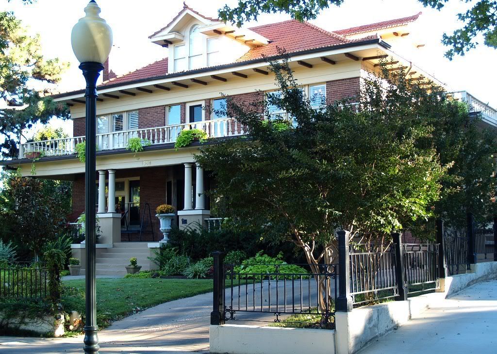
THE TOUR. A Flash Video Tour with background music is at the top of this page. You can also take the tour "manually" ... in the "manual tour" you don't get music but you can see larger images by clicking on each of the pics you see in the article ... and more detail is presented, as well. My "picture taking tour" occurred during the last several days of October 2007 ... while certainly not all homes are included in the tour, more than 150 pictures show why I said at the outset that this area is one of the most beautiful in Oklahoma City ... not that there aren't some flaws and properties that need work (I've not overlooked a few of them in the tour pics), but it's a beautiful and wonderful historic area in which to live, as I do!
In the tour, notice the almost forest-like surroundings and the diversity ... in architectural style, in a wide range of vibrant to bland colors, in economic and ethnic diversity. Few or no "cookie cutter" homes are to be found! Some homes were built around 1903-04, most around 1909-1915, and, later, others around 1920, particularly in the northern areas. Although some "contemporary" structures exist, they are few and far between.
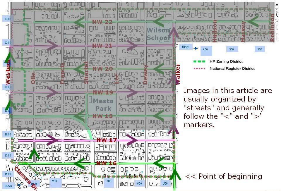
The tour "route" is shown below ... starting at Walker & NW 16th and so on ... follow the markers and you'll see the route.

Click on a link below to take the tour ... the "best" starting point is where it actually begins, at NW 16th, but pick what you like:
| Tour p. 1 16th Street 17th Street | Tour p. 2 18th Street Shartel Mesta Park | Tour p. 3 19th Street 20th Street | Tour p. 4 21st Street 22nd Street |
Go To Top